Quality over quantity: why survey firms trust VMTS with large Scan to BIM projects
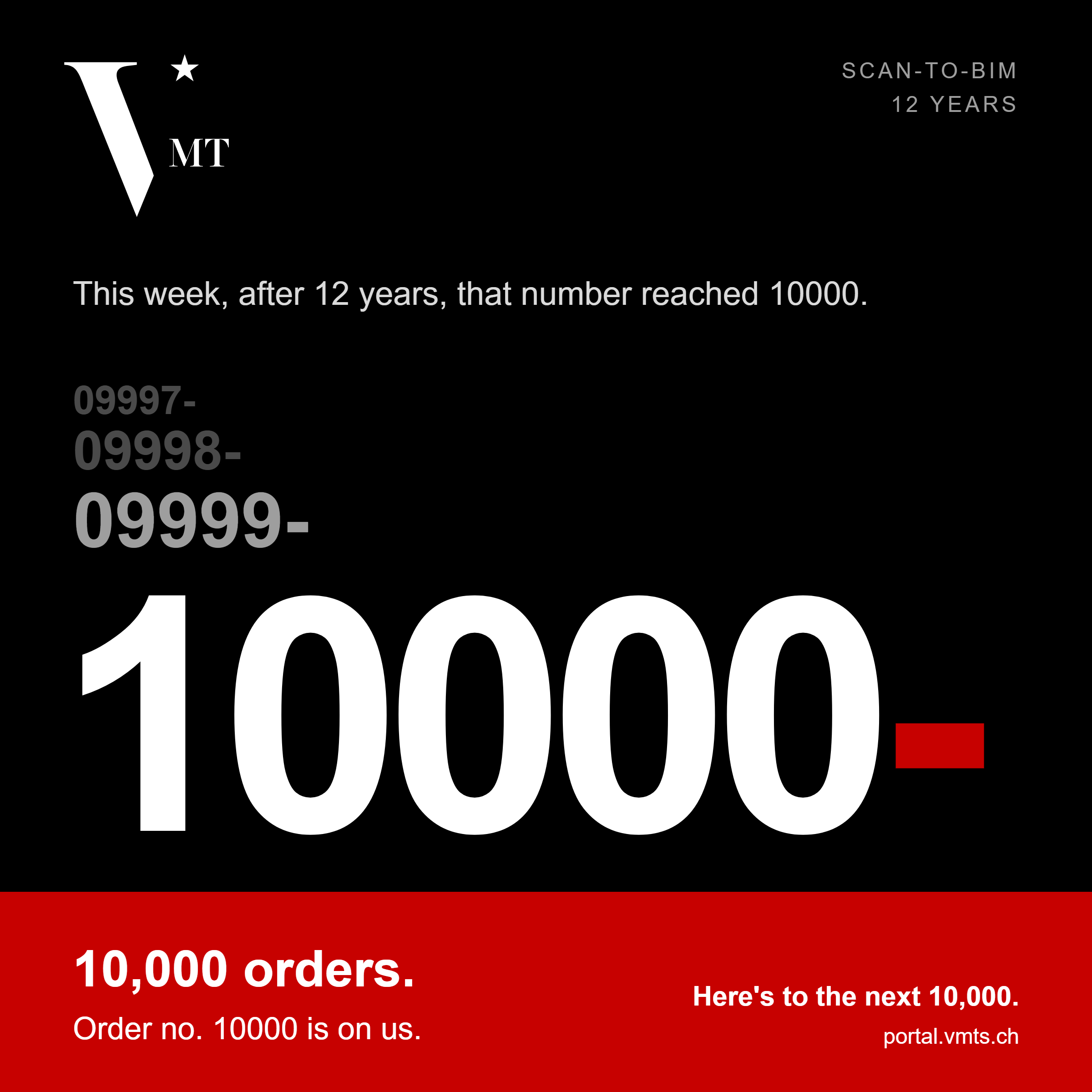
Every order at VMTS (VMT Solutions Co., LTD), a Scan to BIM specialist based in Ho Chi Minh City, carries a running number. After 12 years, that number has reached 10,000. We do not treat it as a volume target. It is the sum of individual orders, each delivered to the same standard. Our reputation has grown through that work, and survey firms around the world now rely on VMTS as a Scan to BIM partner, including on large and demanding projects.
We are also often approached by teams who need a dependable partner after a difficult experience elsewhere. Our strategy has always been the same: get each model right before taking on the next one.
In short
-
01
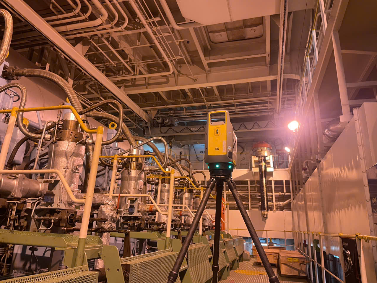
We assess point cloud accuracy before modeling, for TLS, mobile and SLAM, and combined data.
-
02
Survey firms stay free to choose the capture method and equipment that suit the site.
-
03
Every delivery includes native, editable BIM files and a QC report.
-
04
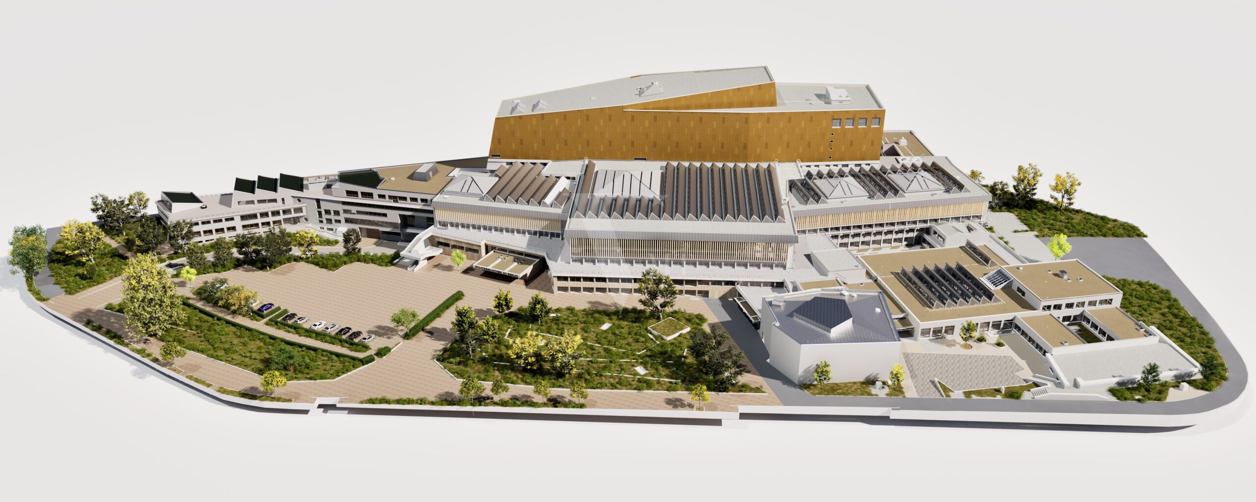
Our track record includes large projects, such as a 170,000 m² Point Cloud to BIM model for the State Library Berlin.
-
05
We explain technical limits openly, and we decline orders whose accuracy expectation the point cloud cannot support.
Definition
What does quality over quantity mean in Scan to BIM? It means that every model is based on a point cloud whose accuracy has been assessed first, built to an agreed level of detail (LOD), checked against the data and delivered in a form the client can keep editing. Speed and order count come second to accuracy and reliability.
We assess the accuracy of your point cloud before we model it
A BIM model can never be more accurate than the data it is built on. That is why the first step at VMTS is not drawing. It is evaluating the point cloud itself. Different capture methods fail in different ways, and our Geomatikers, the surveying engineers who check point cloud data, know how to recognize each of them.
| Data source | Typical risk | What we assess before modeling |
|---|---|---|
| TLS (terrestrial laser scanner) | Registration deviation between scan positions | Registration quality across all scan positions |
| Mobile and SLAM scanner | Distortion and drift along the scan path | Geometric consistency of the point cloud over the whole scan |
| Combined TLS and SLAM | The two sources disagree where they overlap | Where and why they differ, and how to reconcile them correctly |
We identify where a deviation comes from, how large it is and how to treat it before modeling starts. Any limitation that remains is documented in the QC report, so you always know what the model is based on.
What this means for survey firms
You are free to choose the method and equipment that suit the site, your schedule and your budget: a terrestrial scanner for precision, a mobile scanner for speed, or both in one project. You do not have to fear that a faster method will cost you model quality, because we judge what the data can support and handle it accordingly. Flexibility in the field, and confidence in the result.
When expectations go beyond what the data can support
Sometimes the point cloud cannot support the accuracy a client expects. We do not accept such an order and hope for the best. We explain the technical reasons, show what accuracy the data can realistically deliver and what would be needed to reach the requested level. If the expectation is unrealistic for the data available and cannot be met, we decline the order instead of promising something we cannot deliver.
How we build quality into every project
- Assess the point cloud. Our Geomatikers review registration, distortion, drift, coordinate system and completeness, and report gaps back before modeling time is spent.
- Model to the agreed LOD. The scope is fixed per building element group, so acceptance is checked against the same list the model was built from.
- Check independently. A second person checks the model against the point cloud before it counts as approved.
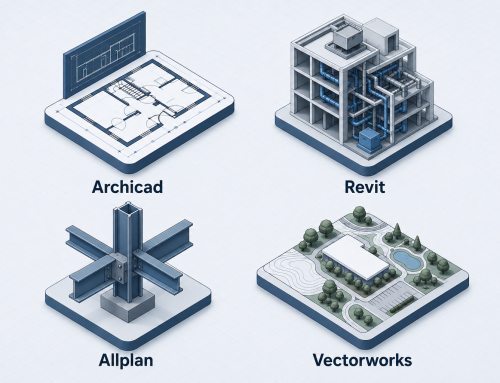
- Deliver with evidence. You receive native Archicad, Revit, Allplan or Vectorworks files, IFC where required, and a QC report that documents what was checked. Details are on our Scan to BIM service page.
Why survey firms choose VMTS for large projects
Large projects leave little room for inconsistency. A model covering a whole building, or a whole campus, is only as good as its weakest section. A project is usually tied to one location, while a large project often consists of several orders, so consistency across orders matters as much as accuracy within one. Our Point Cloud to BIM model of the State Library Berlin, covering 170,000 m², is an example of what a documented, repeatable quality process makes possible at scale.
Surveying firms around the world now rely on us as a technical partner, not as a one-off supplier. They scan, we take care of everything downstream, and they know what they will receive.
Why we sometimes recommend a rebuild instead of a repair
Some companies come to us after a difficult experience with another CAD or BIM provider. The model has errors, deviates from the point cloud or has geometry that does not hold up, and the project is now delayed. We are always glad to look at it.
We also tell them plainly what we see. In most of these cases, repairing the model is not a practical option. Errors in a weak model are rarely isolated. Wrong assumptions run through walls, levels and connections, and finding and correcting every one of them takes longer than starting again. Rebuilding directly from the point cloud is often much faster, and the result can be checked against the data from the start.
That is why, before any work begins, we review the existing model against the point cloud and give you a clear recommendation: repair where it makes sense, rebuild where it saves time. You decide with the facts in front of you.
10,000 orders: a result, not a goal
The 10,000th order is a milestone we are glad to mark, but our attention stays on the next project. Each new order gets the same checks, the same team discipline and the same commitment to deadlines as the first. Our aim on every project is to deliver more than expected. You can read more about how we work on our About us page.
This is what our slogan means in practice: “You scan, we support all downstream services, from point clouds to native BIM models.”
Frequently asked questions
Why check the point cloud before modeling?
A BIM model cannot be more accurate than the point cloud it is built on. Deviations that are not found before modeling end up in the model and surface later as rework. At VMTS, our Geomatikers assess the point cloud first.
Does VMTS accept very large Scan to BIM projects?
Yes. We have delivered a Point Cloud to BIM model covering 170,000 m² for the State Library Berlin. For large scopes we agree LOD, accuracy and delivery stages with you in writing before modeling starts.
Does VMTS accept every order?
No. We accept an order when we are confident we can meet the requirement. If the expected accuracy is higher than the point cloud can support, we explain the technical reasons and what would be needed to reach it. If the requirement cannot be met, we decline the order instead of promising something we cannot deliver.
How does VMTS check the quality of a model?
Our Geomatikers assess the point cloud first. After modeling, a second person checks the model against the point cloud. Every delivery comes with a QC report.
Can VMTS work with point clouds from mobile or SLAM scanners?
Yes. We review the data for distortion and drift before modeling and tell you what the point cloud can realistically support.
What happens if my TLS and SLAM data do not match?
We identify where and why the two sources differ, decide how to reconcile them correctly and document any remaining limitation in the QC report, so the model stays consistent and traceable.
Which software and file formats does VMTS deliver?
Native files for Archicad, Revit, Allplan and Vectorworks, plus IFC on request.
Can VMTS correct a BIM model that another provider has delivered?
We are happy to review it. In most cases, however, a rebuild from the point cloud is faster and more reliable than a repair, because errors in a weak model are spread throughout it. We tell you which option makes sense before any work starts.
Related articles
Work with VMTS
Send us your point cloud
We would be happy to discuss your project. Send us your point cloud for a no-obligation quotation. We assess its accuracy first, then confirm LOD, accuracy and scope with you before we start.
Nguyen Huynh (Rainer)

About the Author:
Nguyen Huynh (Rainer) is Managing Director at VMT Solutions, specializing in Point Cloud to BIM workflows for surveying, planning, and engineering offices. He focuses on precise BIM models, clearly defined quality standards, and long-term technical partnerships.
Share This Story!
Related Posts
Recent Posts




We are proud to have
satisfied customers.

 Gerd Gindullis, Lecturer for digital as-built data capture at Aachen University of Applied Sciences, TerraMeta 3D Laser Service
 Stefan Schramm, Architekt Stefan Schramm
„Your plans are perfect; I’ve never seen anything like this before. These are drawings of the highest quality, I must say. I want to express my sincere thanks once again for your work.“
 Endre Szokolai, Digitalplan-Szokolai
VMT modeled a large industrial building in 3D for our research project. We provided DWG plans to VMT, and they delivered a highly detailed model, including the building envelope, interior walls, openings, and stairs. We had previously contracted a German company for the same object, but unfortunately, it didn’t work out. I was relieved and pleased that VMT handled it so reliably. Thank you for the excellent work and the truly fair price!

Very reliable company, courteous staff, and top-quality work. Our plans were created quickly and accurately. Thank you for that. Highly recommended.
Excellent advice and high 3D modeling quality at a great price-performance ratio… What more could you want? I can highly recommend them…