Scan-to-BIM: The Complete Professional Guide (2026)
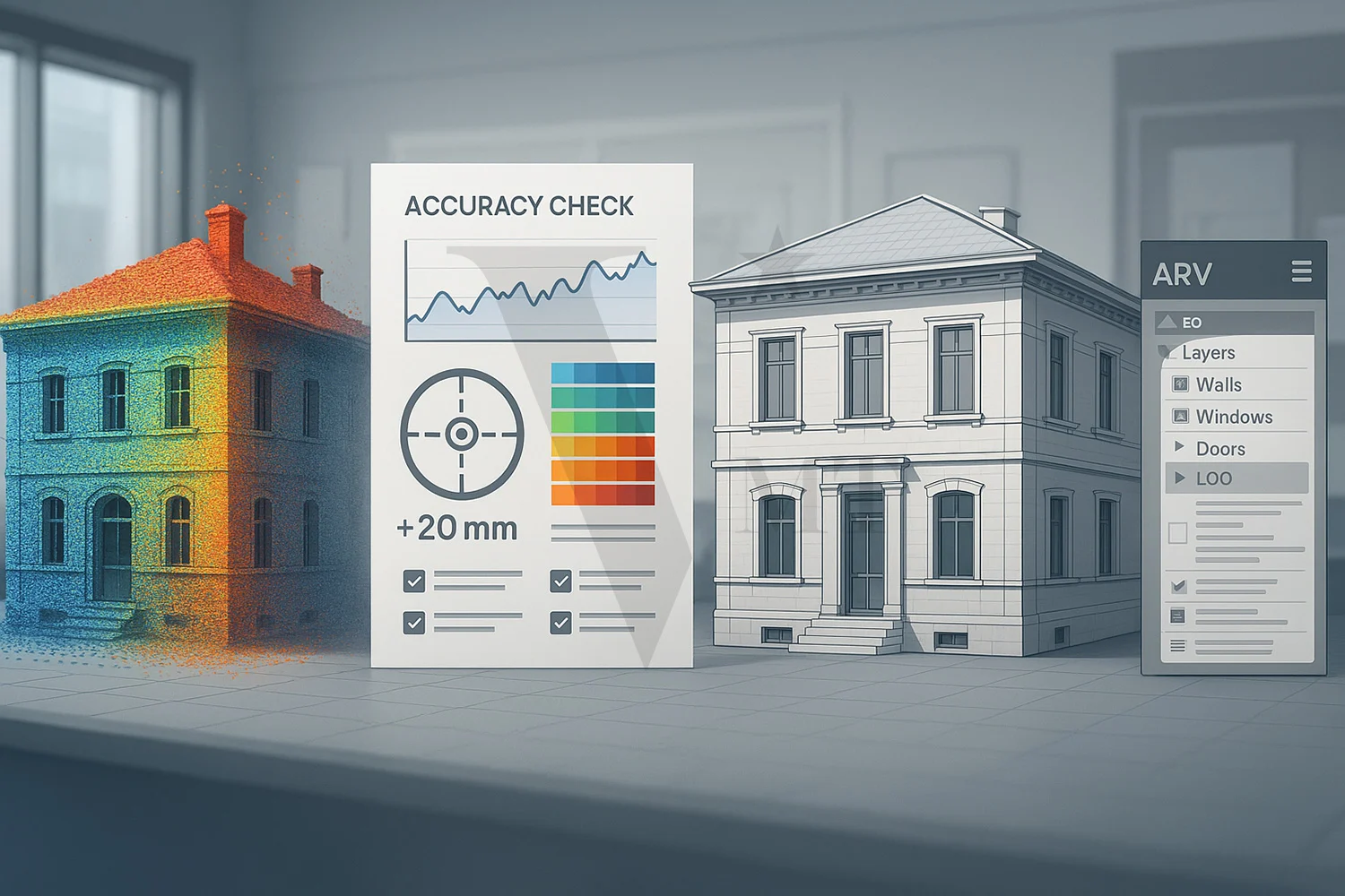
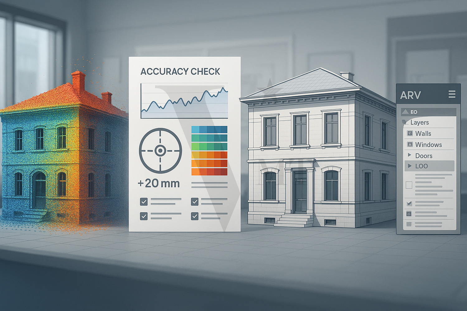
Whether you’re documenting an existing building, planning a renovation, or coordinating a multi-discipline retrofit: if you work with laser scanning today, you can’t avoid the term Scan-to-BIM. But what exactly happens during the process, which steps does it involve, and which LOD level or software is right for your project? This guide gives you a complete overview of Scan-to-BIM — from the definition through the workflow to accuracy, cost, and the leading software platforms.
Whether you’re a surveying firm looking for a competent modeling partner, an architecture office that needs an as-built baseline for a renovation project, or a general contractor coordinating multiple trades: this guide will help you make informed decisions on LOD, software, and partner selection.
This guide is also available in German: Scan-to-BIM: Der vollständige Leitfaden 2026.
What Is Scan-to-BIM?
Scan-to-BIM (also called point cloud to BIM) is the process of converting 3D point cloud data from a laser scan of an existing building into a structured BIM (Building Information Model) — for example in Revit, Archicad, Allplan, or Vectorworks.
The key difference from a plain 3D visualization: a Scan-to-BIM model doesn’t contain unstructured points. It contains clearly defined, intelligent building elements — walls, slabs, columns, windows, doors, and MEP components — with correct categories, properties, and a defined level of detail (LOD). This turns the point cloud from a raw survey into a usable planning foundation.
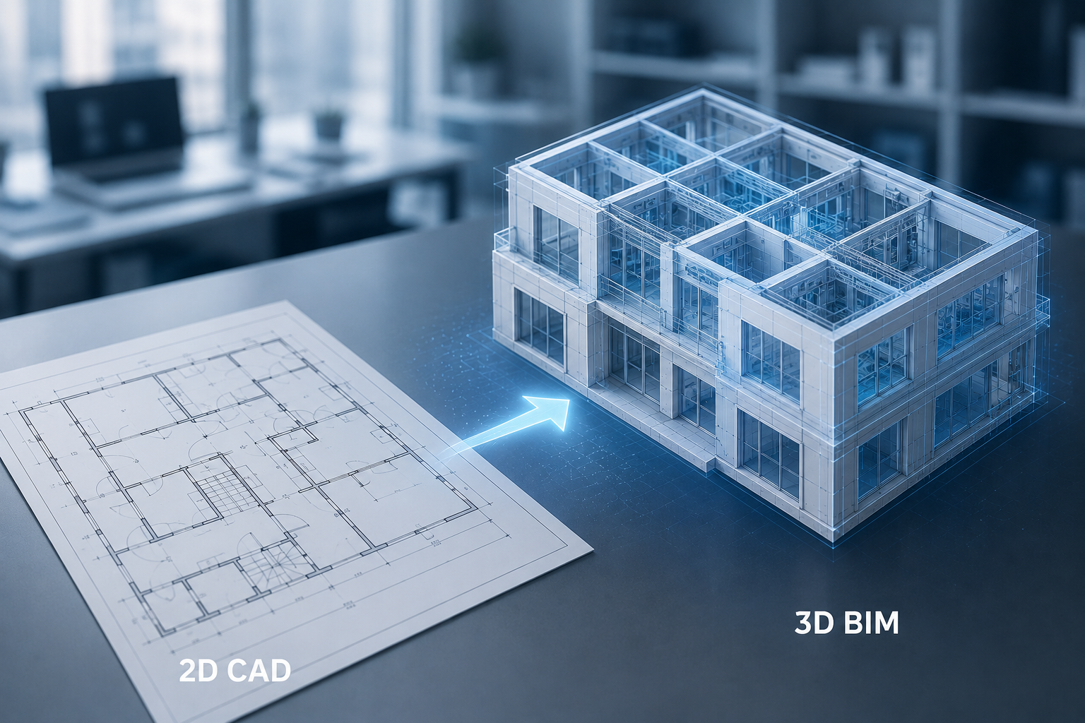
Scan-to-BIM is often confused with Scan-to-CAD. The difference lies in data depth: Scan-to-CAD typically delivers 2D drawings or simple 3D line work, while Scan-to-BIM produces a fully parametric, information-rich model containing quantities, materials, and component relationships — the foundation for coordination, cost planning, and later use in facility management. Which approach is right depends on the intended use: 2D drawings may be sufficient for pure documentation, but for design, execution, and long-term building management, a structured BIM model is unavoidable. We cover this comparison in more depth in Scan to CAD vs Scan to BIM – Which Output Do You Really Need?
Scan-to-BIM is typically used for:
- As-built documentation of historic or complex buildings
- Renovations and retrofits, where the existing condition needs to be known precisely
- Facility management and long-term building operations
- Coordination between architects, structural engineers, and MEP planners on extension projects
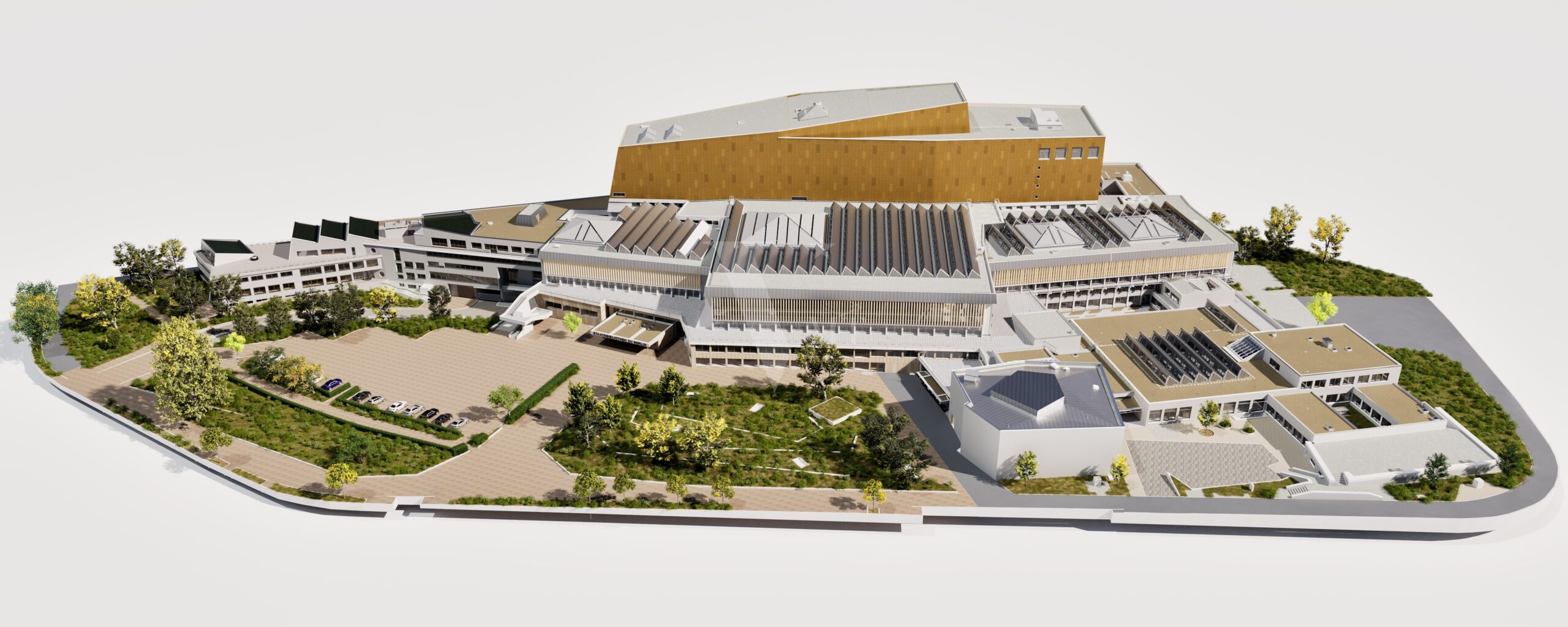
A clear example is the conversion of 170,000 m² of the State Library Berlin into a precise LOD 300 BIM model — a project that shows how Scan-to-BIM works reliably even on complex, heritage-listed buildings.
Who Is Scan-to-BIM For?
Scan-to-BIM is relevant for anyone who needs a reliable digital foundation to plan, renovate, or manage an existing building:
- Surveying firms that capture precise laser scan data but outsource the BIM modeling to a specialized partner, so they can offer their clients a complete service package.
- Architecture and engineering firms that need an exact as-built baseline for renovations, retrofits, or extensions.
- General contractors who need to coordinate multiple trades and catch clashes early.
- Facility managers and building owners who need an up-to-date digital record of their property for long-term operations.
- Developers who need a reliable data foundation for feasibility studies before acquiring or repurposing an existing property.
What all of these have in common is the need for a model that isn’t just visually convincing but that can actually be used for planning, cost estimation, and coordination. Especially on projects with multiple parties — for example, when a surveying firm works for an architect who in turn delivers to a contractor — the quality of the BIM model determines whether downstream planning steps run smoothly or turn into a cycle of questions and corrections.
How Scan-to-BIM Works: The Workflow Step by Step

A professional Scan-to-BIM process follows a clearly structured sequence. Every step directly affects the quality of the final model — shortcuts at one stage carry through to every stage that follows.
1. On-Site Data Capture
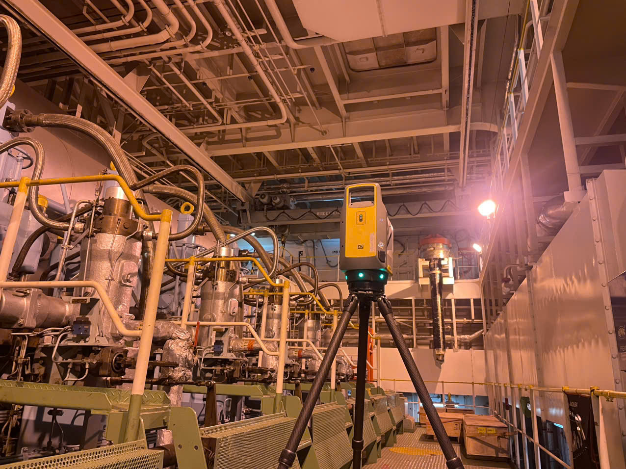
The building is fully captured using 3D laser scanning (e.g. terrestrial laser scanning) or mobile capture systems. The goal is a complete, high-resolution point cloud of the existing condition. For active or sensitive buildings — libraries, hospitals, or operating industrial facilities, for example — the capture needs to be planned so it disrupts ongoing operations as little as possible.
2. Data Processing and Registration
The individual scans are registered into a single, unified point cloud. Noise, gaps, and registration errors are cleaned up to create a solid foundation for modeling. This step largely determines the final accuracy: errors that go undetected here carry through, unnoticed, into the finished BIM model.
3. Architectural Interpretation
Experienced modelers interpret the point cloud correctly from a technical standpoint: walls, slabs, roof shapes, and MEP elements are identified and captured according to how they were actually built — not idealized, but true to reality. This requires architectural and construction knowledge, not just software skills: only someone who can distinguish what’s structural, what’s deformation, and what’s actually real can correctly translate a point cloud into building elements.
4. BIM Modeling to LOD/LOI Standard
Building elements are modeled natively in the target BIM software, according to the agreed level of detail (LOD) and level of information (LOI). Standardized modeling guidelines and clear naming conventions ensure the model matches the client’s internal standards.
5. Quality Control
The finished model is systematically compared against the source point cloud. Deviations are checked and corrected before the model is released. In multi-stage QC processes, this comparison happens not just at the end but throughout the entire modeling process.
6. Delivery
The model is delivered in its native format (e.g. Revit, Archicad, Allplan) and, if needed, as an IFC export for use in other systems. The next section covers which additional deliverables you should expect.
Accuracy in Scan-to-BIM: What You Should Expect
Accuracy is the most important — and often underestimated — part of a Scan-to-BIM project. Raw point clouds always contain deviations, noise, and measurement inaccuracies. Without proper processing, these problems can carry straight through into the BIM model.
In practice, a standard tolerance of around 1.5 cm (0.6 in) has become the norm for BIM models derived from point clouds. For particularly sensitive areas — facades, steel structures, or curtain walls, for example — millimeter-level precision is often required. It’s important to know: with underqualified providers or cheap freelance solutions, deviations of 40 to 100 mm can occur — a model that is, in practice, unusable for planning and coordination.
Real accuracy doesn’t come from software alone. It comes from:
- Rigorous review of the point cloud before modeling begins
- Architectural and engineering expertise to interpret unclear or noisy scan data
- Involvement of surveying engineers on complex or large-scale projects
- Use of intensity data when RGB data is unreliable due to lighting conditions
For more on this topic, see our article True Accuracy in Point Cloud to BIM: It’s More Than Software Skills.
Risks of an Unqualified Scan-to-BIM Execution
Even if the on-site survey was done with excellent precision, the entire project can still fail if the partner modeling the point cloud isn’t sufficiently qualified. The quality of the BIM model depends entirely on the experience and reliability of the CAD partner — not on the scan itself.
Typical risks with unsuitable partners or freelancers:
- Inaccurate geometry and incorrect building elements
- Idealized representation instead of the true as-built condition
- Missing detail due to an LOD level that’s too low
- Late-stage rework and major delays
- Unusable or unverifiable IFC data
- Damage to your own reputation with your client
Cheap, short-term solutions with freelancers can look tempting, but in the long run they put quality, deadlines, and your credibility with your own clients at risk. The cost of correcting an inaccurate model almost always ends up exceeding the investment in a reliable provider in the first place.
Deliverables You Should Expect

A reliable Scan-to-BIM provider delivers considerably more than a simple 3D file. A professional project handover should include:
- Native, fully editable BIM models (e.g. Archicad .PLN, Revit .RVT) rather than plain IFC exports — IFC is an exchange format, not a working format, and most IFC elements can’t be edited directly.
- Hybrid or integrated models when multiple platforms are involved — for example, architecture in Archicad and MEP in Revit.
- A level of detail (LOD) that matches actual project needs — an unnecessarily high LOD adds cost and time without adding value.
- The original registered point cloud used for modeling — essential for validation, error correction, and future audits.
- Supplementary digitization such as converting old paper drawings to 2D/3D or high-quality visualizations, depending on project needs.
For a full overview, see Point Cloud to BIM Services: What Deliverables Should You Expect? For how IFC, COBie, and ISO 19650 differ as deliverable standards, see IFC, COBie and ISO 19650: BIM Deliverables Explained.
LOD 200 vs. LOD 300 vs. LOD 400: Which Level of Detail Do You Need?
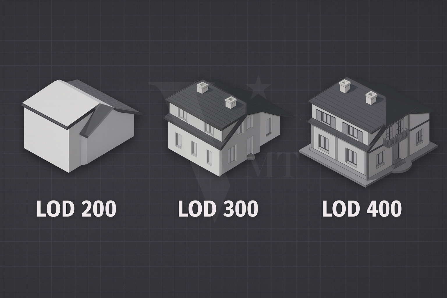
Level of Detail (LOD) determines how precisely and thoroughly a BIM model represents reality. The right LOD level depends on how the model will be used.
| LOD Level | Level of Detail | Typical Use Case |
|---|---|---|
| LOD 200 | Schematic representation with generic elements; approximate size, shape, and location | Early design phases, feasibility studies, rough quantity takeoffs |
| LOD 300 | Precise, to-scale geometry with exact size, shape, location, and orientation | As-built documentation, trade coordination, cost and quantity planning — the most common standard for Scan-to-BIM |
| LOD 400 | Full fabrication and installation detail, including assembly information | Shop drawings and fabrication, detailed construction planning |
In practice, LOD 300 is the most commonly selected level for Scan-to-BIM projects: it offers sufficient precision for planning, coordination, and clash detection without the heavy modeling effort of LOD 400. For particularly complex buildings — heritage projects, industrial facilities, or hospitals, for example — LOD 300 is typically the right baseline as well. Heritage and restoration projects often require a higher level of detail due to complex geometry and conservation requirements, while standard projects can often get by with less — an unnecessarily high LOD simply adds cost without a corresponding benefit. For a full breakdown of exactly which component is modeled at which level, see our Level of Detail matrix (LOD 100 to 400).
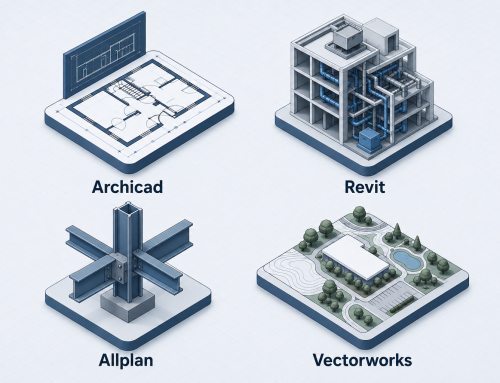
Software Comparison: Archicad, Revit, Allplan, and Vectorworks for Scan-to-BIM
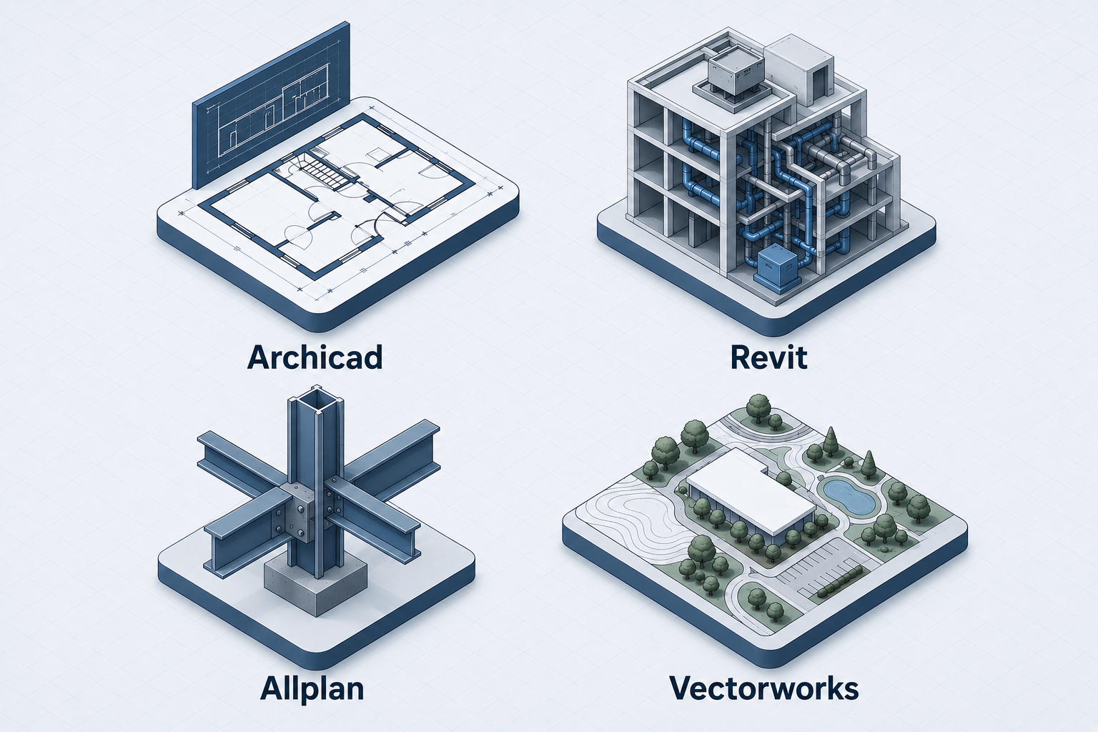
The choice of BIM software is usually driven by the client’s requirements, the project region, and the discipline involved. All four platforms support point cloud integration, each with its own strengths.
| Software | Strengths | Typical Use Case |
|---|---|---|
| Archicad (Graphisoft) | Intuitive point cloud integration, strong IFC workflow, widely used by architecture firms in Europe | Architecture, as-built surveys, renovation projects |
| Revit (Autodesk) | The most widely used BIM platform internationally, extensive MEP family libraries, frequently required by general contractors | Large, multi-disciplinary projects with many stakeholders |
| Allplan (Nemetschek) | Strong native point cloud handling, common in the DACH region, especially for structural engineering and precast construction | Structural engineering, precast planning, as-built modeling |
| Vectorworks (Nemetschek) | Solid point cloud support, popular with small and mid-size architecture and landscape planning firms | Architecture and landscape planning at a smaller to mid-size project scale |
For surveying firms and general contractors working with multiple clients, it’s often worth choosing a partner that isn’t locked into a single platform: that way, each project can use the software the client actually needs, instead of having to convert the model into a different format afterward. VMT Solutions models natively in all four platforms — matched to the requirements of the surveying firm, architecture office, or end client. For processing raw data, we also use our own purpose-built, highly optimized point cloud processing tools to deliver faster and more accurate results.
Scan-to-BIM in Practice: State Library Berlin
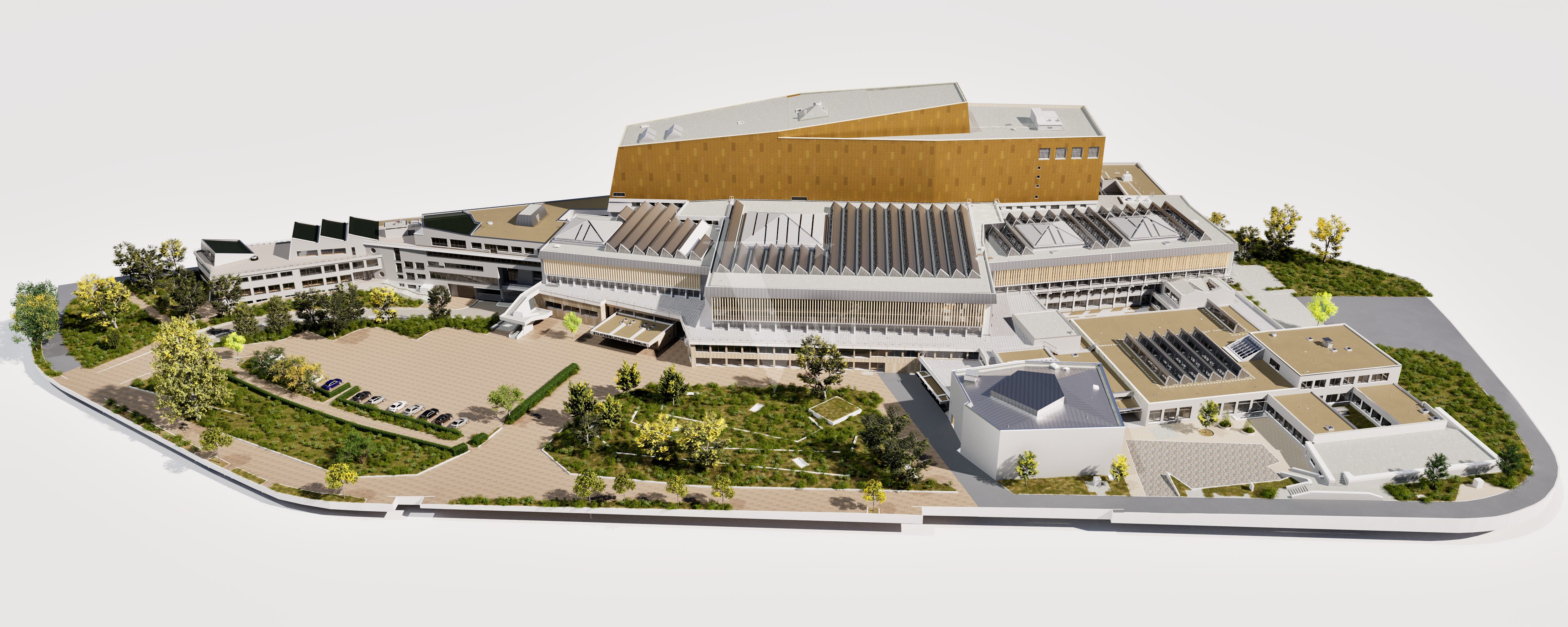
How demanding Scan-to-BIM can be on large-scale, heritage-listed buildings is illustrated by the State Library Berlin project: across 170,000 m², laser scan data (captured with RTC360 and NavVis systems, among others) was converted into a precise LOD 300 BIM model — in collaboration with gmp Architekten and bgis Kreative Ingenieure GmbH.
Projects of this scale show why a structured workflow is essential: simply opening the raw data can take several hours on point clouds this large, before modeling even begins. Without clean data processing, clear LOD requirements, and an experienced team, a project of this complexity would barely be viable.
How Much Does Scan-to-BIM Cost?
There’s no flat, one-size-fits-all price for Scan-to-BIM projects, since cost depends on several factors:
- Building size and complexity (area, number of elements, geometry)
- Required LOD/LOI level of detail — higher detail levels mean more modeling effort
- Quality and completeness of the delivered point cloud data
- Desired delivery formats (native BIM model and/or an additional IFC export)
A cheap quote isn’t automatically the most economical choice: an inaccurate model causes rework, delays, and correction costs later that usually far exceed the initial savings. We break down a real example of how a low quote can turn costly in When Your Scan2BIM Quote Gets Hit With “Five Times More Expensive!”
Getting a reliable quote is straightforward: after an initial inquiry, the provider reviews the available point cloud data along with your requirements (LOD, software, delivery formats) and puts together an individual, transparent quote on that basis — without the hidden rework costs that often surface later with insufficiently reviewed proposals. For a full breakdown of every pricing factor and what should be included in a quote, see our Scan-to-BIM Cost Guide 2026.
How to Choose a Scan-to-BIM Partner
Since the quality of your BIM model depends almost entirely on the partner modeling it, choosing the right one deserves as much attention as choosing the right scanning equipment. Before signing off on a provider, it’s worth checking their track record on projects of comparable size and complexity, their QC process, and how clearly they can explain their accuracy standards.
We cover this decision in detail — including the questions to ask before you commit — in 6 Tips on How to Choose Your Point Cloud to BIM Partner.
If you are weighing a partner outside Europe, our article on why European firms outsource Scan-to-BIM to Vietnam walks through the quality, data security and communication safeguards worth checking first.
Frequently Asked Questions
What exactly is Scan-to-BIM?
Scan-to-BIM is the process of converting 3D point cloud data from laser scanning an existing building into a structured, intelligent BIM model. Unlike a plain 3D visualization, the result contains clearly defined building elements with a set level of detail (LOD), suitable for planning, coordination, and later use.
What’s the difference between a point cloud and a BIM model?
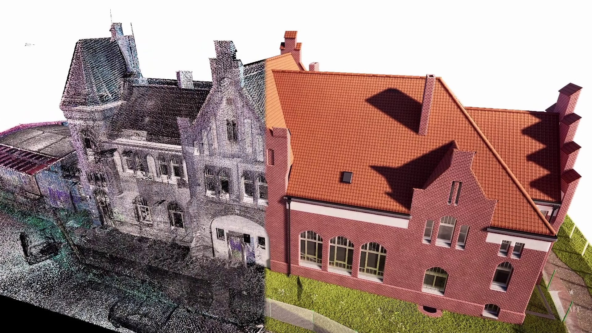
A point cloud is an unstructured collection of millions of measured points that represent a building’s surfaces — it contains no information about individual building elements. A BIM model, by contrast, consists of intelligent, categorized objects (walls, slabs, windows, etc.) with defined properties. Scan-to-BIM is the process that turns the point cloud into that structured model.
How accurate is a Scan-to-BIM model?
The established standard is around 1.5 cm of deviation for BIM models derived from point clouds. Sensitive areas such as facades or steel structures often require millimeter-level precision. With unqualified providers, deviations of 40 to 100 mm can occur — an important factor to check when choosing a partner.
Which LOD level should I choose?
For most Scan-to-BIM projects — especially as-built documentation and coordination — LOD 300 is the standard choice. Early design phases often only need LOD 200, while fabrication and detailed execution planning require LOD 400.
Which software is used for Scan-to-BIM?
The most common BIM platforms for Scan-to-BIM are Archicad, Revit, Allplan, and Vectorworks. VMT Solutions models natively in all four, depending on the client’s or surveying firm’s requirements.
How much does Scan-to-BIM cost?
There’s no flat price, since cost depends on building complexity, the required LOD/LOI, the quality of the point cloud data, and the desired delivery formats. An individual quote is prepared based on these criteria.
How long does a Scan-to-BIM project take?
Project duration mainly depends on building size, architectural complexity, and the required LOD. Smaller, clearly structured buildings can be modeled faster than complex heritage buildings or industrial facilities.
What’s the difference between Scan-to-BIM and Scan-to-CAD?
Scan-to-CAD typically delivers 2D drawings or simple 3D line work from the point cloud. Scan-to-BIM goes a decisive step further: it produces a fully parametric model with intelligent, categorized building elements, quantities, and material information — the foundation for coordination, cost planning, and facility management.
Do I also receive the original point cloud?
With a professional provider, you receive the original registered point cloud alongside the BIM model. It’s the most accurate representation of the actual as-built condition and is essential for later validation, error correction, or audits.
Checklist: How to Recognize a Reliable Scan-to-BIM Partner
Given the risks and requirements described above, it’s worth doing a quick reality check before you commit to a provider. A reliable partner:
- Delivers native, fully editable BIM files — not just IFC exports
- Hands over the original registered point cloud for your own validation
- Can state their accuracy standards concretely (e.g. ~1.5 cm standard tolerance, mm-level precision for sensitive areas)
- Relies on a stable, trained team rather than rotating freelancers
- Explains transparently which LOD your project actually needs — instead of defaulting to the highest (and most expensive) level of detail
- Has verifiable reference projects of comparable size and complexity
These points can be clarified in an initial conversation or by reviewing a reference project — and they protect you from the quality and schedule risks described throughout this guide. Checking these criteria consistently significantly reduces the risk of having to remodel later, and ensures the delivered model is actually usable in your own planning — not just visually convincing.
Your Partner for Scan-to-BIM
VMT Solutions has specialized in the precise conversion of point clouds into BIM models for over 10 years. A team of more than 140 experienced architects and civil engineers, standardized QC processes, and native modeling in Archicad, Revit, Allplan, and Vectorworks make VMT Solutions a reliable partner for surveying firms, architecture offices, and contractors across Europe and Japan. From the first data review to final quality control, a dedicated team stays with the project — without the quality and schedule risks that come with rotating freelancers.
Whether you’re documenting a single existing building or looking for a long-term modeling partner as a surveying firm: we’re happy to advise you, free of charge, on LOD requirements, software choice, and a realistic cost and timeline estimate for your specific project.
Explore our Scan-to-BIM services
Send your point cloud for a free review — get in touch today.
Nguyen Huynh (Rainer)

About the Author:
Nguyen Huynh (Rainer) is Managing Director at VMT Solutions, specializing in Point Cloud to BIM workflows for surveying, planning, and engineering offices. He focuses on precise BIM models, clearly defined quality standards, and long-term technical partnerships.
Share This Story!
Related Posts

Recent Posts



We are proud to have
satisfied customers.

 Gerd Gindullis, Lecturer for digital as-built data capture at Aachen University of Applied Sciences, TerraMeta 3D Laser Service
 Stefan Schramm, Architekt Stefan Schramm
„Your plans are perfect; I’ve never seen anything like this before. These are drawings of the highest quality, I must say. I want to express my sincere thanks once again for your work.“
 Endre Szokolai, Digitalplan-Szokolai
VMT modeled a large industrial building in 3D for our research project. We provided DWG plans to VMT, and they delivered a highly detailed model, including the building envelope, interior walls, openings, and stairs. We had previously contracted a German company for the same object, but unfortunately, it didn’t work out. I was relieved and pleased that VMT handled it so reliably. Thank you for the excellent work and the truly fair price!

Very reliable company, courteous staff, and top-quality work. Our plans were created quickly and accurately. Thank you for that. Highly recommended.

Excellent advice and high 3D modeling quality at a great price-performance ratio… What more could you want? I can highly recommend them…