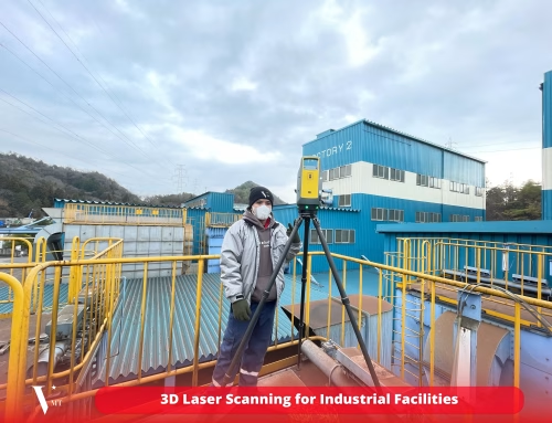
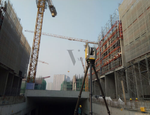
Using Mobile Laser Scanners: Benefits and Challenges in Construction Surveys

“Hello Rainer, we understand that the point cloud from ‘xxxxx’ (a mobile laser scanner) doesn’t have the resolution of a terrestrial laser scanner. However, we trust that you’ll find the best and most accurate solution for the model.”
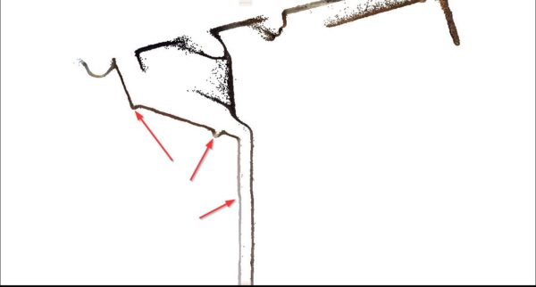
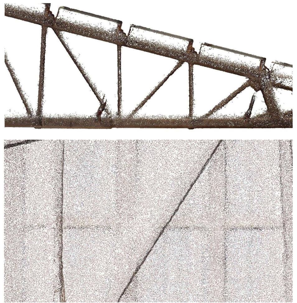
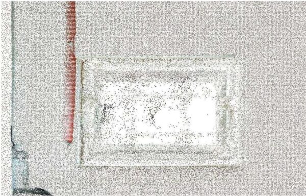
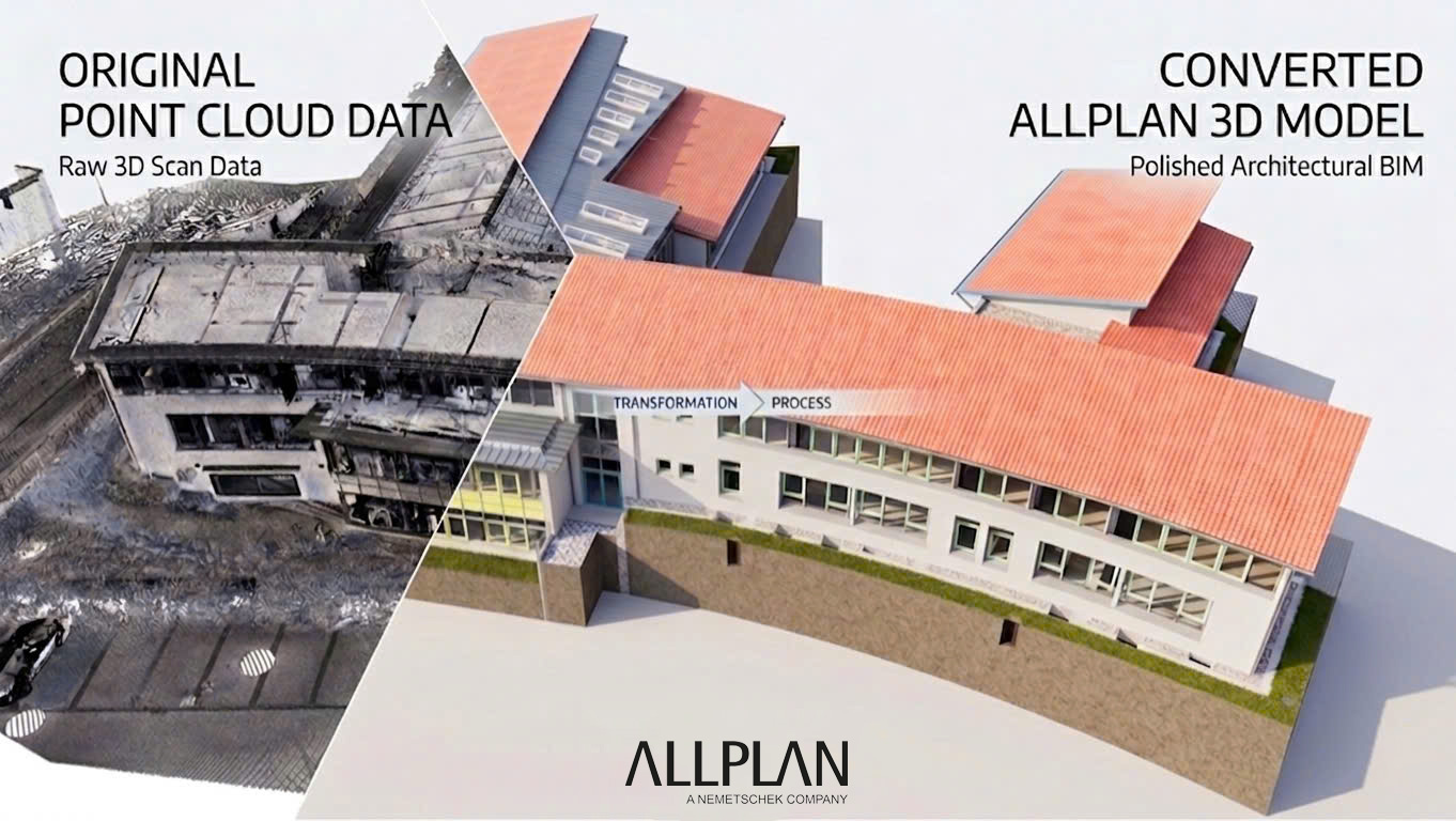
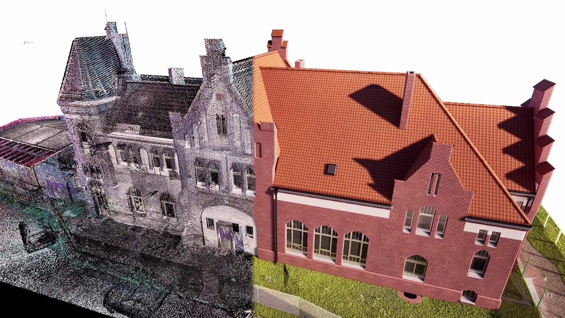
This feedback from our client highlights a common issue: mobile scanners often lack the detail required to produce models with a Level of Detail (LOD) higher than 300. This particular project involves the renovation of a historic building facade, demanding high accuracy and detail. Yet, the 3D laser scanner being used is a mobile scanner.
-
- các chi tiết không rõ
-
- Chi tiêt không rõ
With years of experience, I know it’s challenging for mobile laser scanners to meet such precision standards. But perhaps clients put too much trust in the technology, believing that our expertise and processes can compensate for the limitations of the data. The convenience and speed of mobile scanners are persuasive, leading many to adopt them, even when they might not be suited for specific high-accuracy projects like this.
I firmly believe that mobile laser scanners have their place, particularly in visualize, digital-Twin projects, rather than as a primary surveying tool. Or at least, with the current quality and accuracy, their use in surveys should be carefully considered when high precision and detail are expected. While mobile scanner data can be useful in some cases, adjusting and validating it takes significantly more time compared to terrestrial laser scanning data.
If used inappropriately, we risk saving time on-site only to spend more on post-processing and modeling, with unreliable accuracy and detail. So, where does the efficiency lie?
In future posts, I’ll share more examples of projects where mobile scanners initially seemed helpful but later required costly adjustments due to accuracy issues. Do any of my colleagues have different experiences or perspectives?
Nguyen Huynh (Rainer)
")
About the Author:
Nguyen Huynh (Rainer) is Managing Director at VMT Solutions, specializing in Point Cloud to BIM workflows for surveying, planning, and engineering offices. He focuses on precise BIM models, clearly defined quality standards, and long-term technical partnerships.
Share This Story!
Related Posts
Recent Posts


We are proud to have
satisfied customers.
 Gerd Gindullis, Lecturer for digital as-built data capture at Aachen University of Applied Sciences, TerraMeta 3D Laser Service
 Stefan Schramm, Architekt Stefan Schramm
„Your plans are perfect; I’ve never seen anything like this before. These are drawings of the highest quality, I must say. I want to express my sincere thanks once again for your work.“
 Endre Szokolai, Digitalplan-Szokolai
VMT modeled a large industrial building in 3D for our research project. We provided DWG plans to VMT, and they delivered a highly detailed model, including the building envelope, interior walls, openings, and stairs. We had previously contracted a German company for the same object, but unfortunately, it didn’t work out. I was relieved and pleased that VMT handled it so reliably. Thank you for the excellent work and the truly fair price!

Very reliable company, courteous staff, and top-quality work. Our plans were created quickly and accurately. Thank you for that. Highly recommended.

Excellent advice and high 3D modeling quality at a great price-performance ratio… What more could you want? I can highly recommend them…