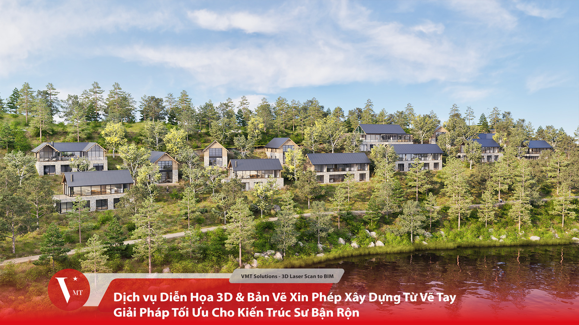
VMT Solutions
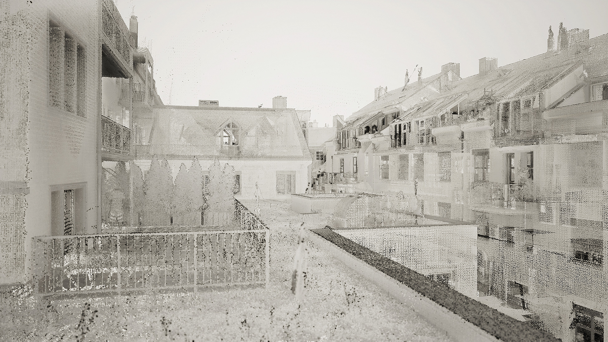
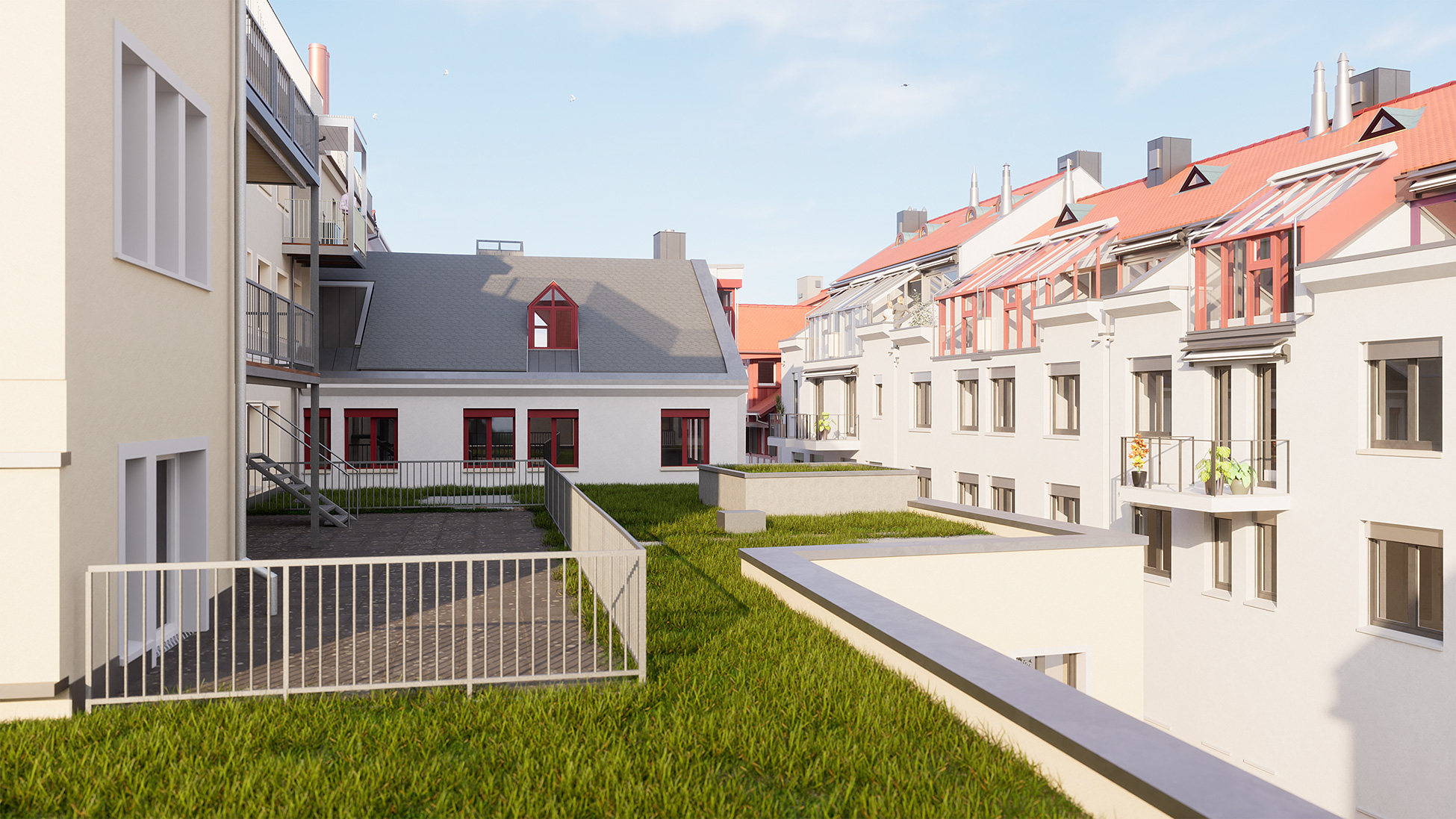
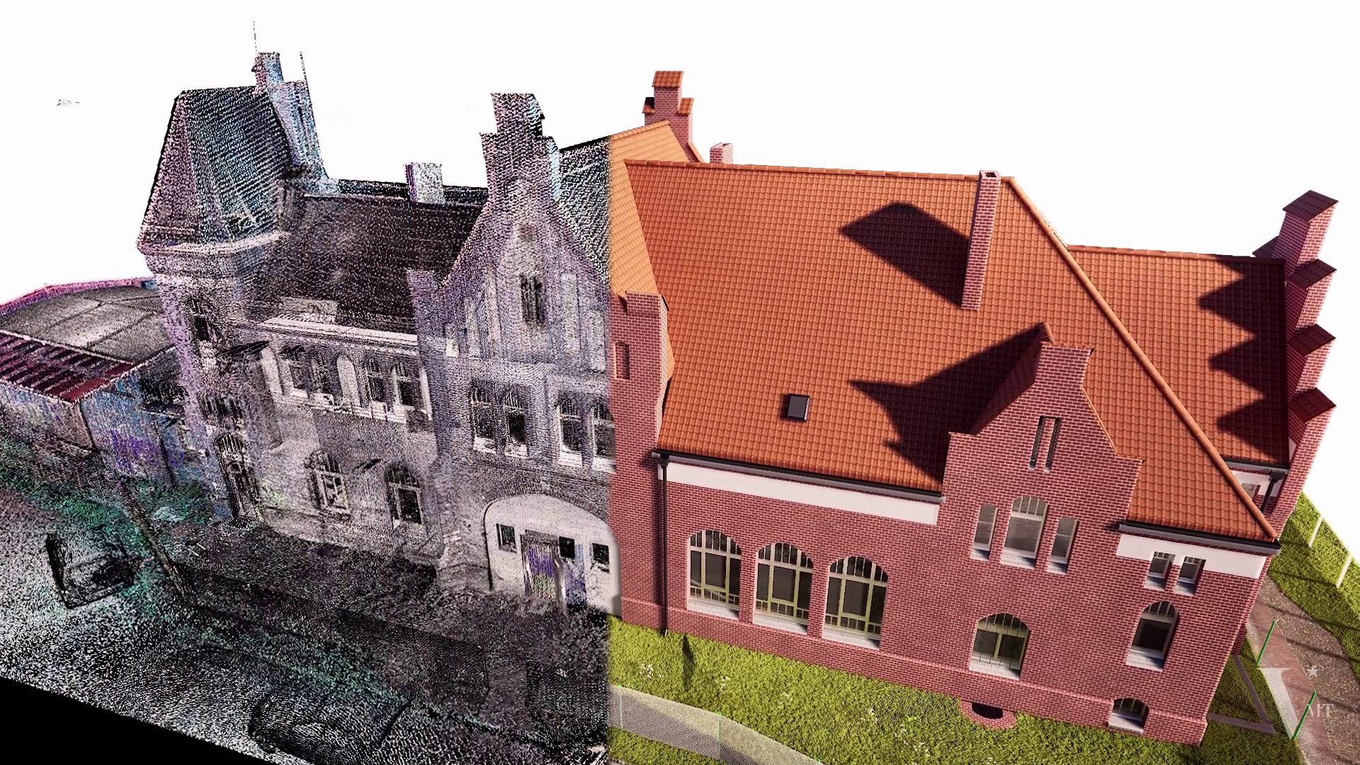
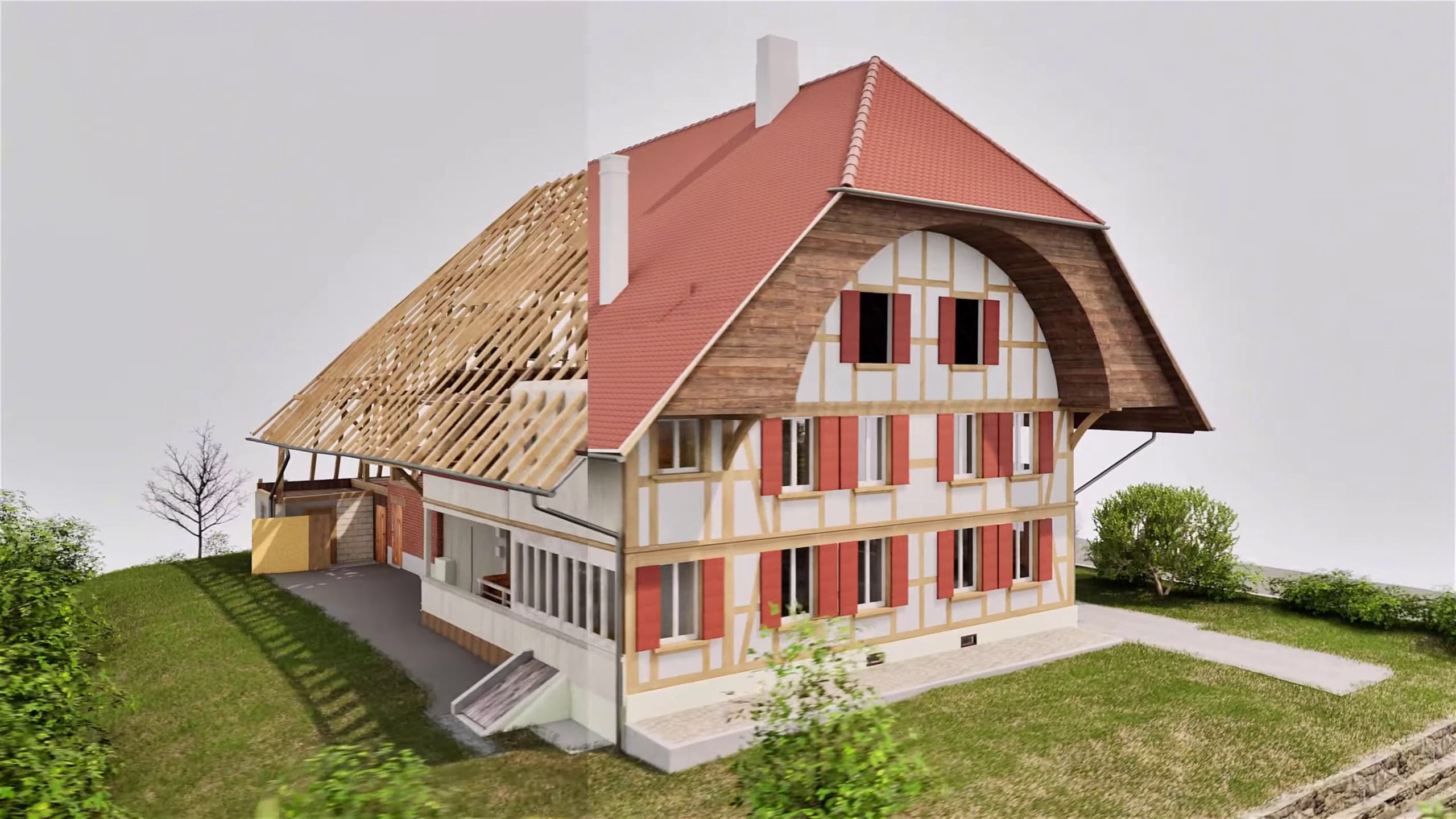
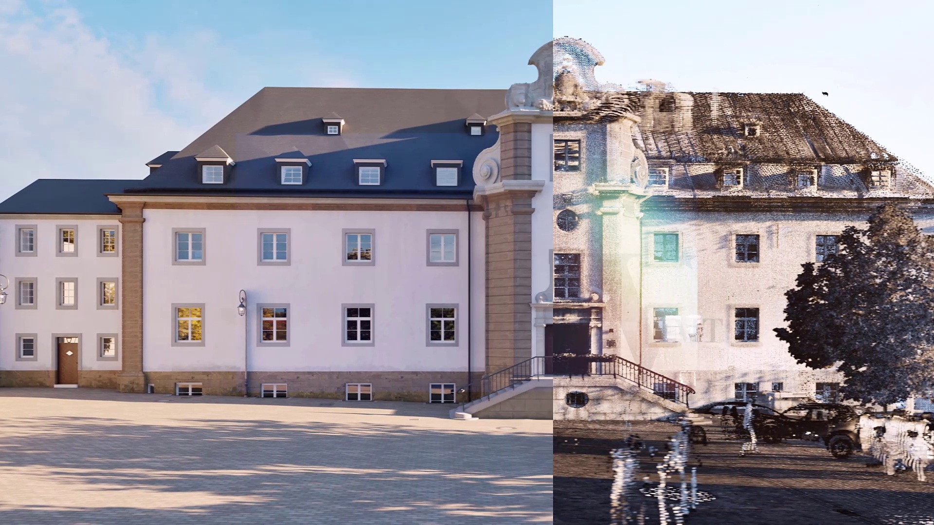
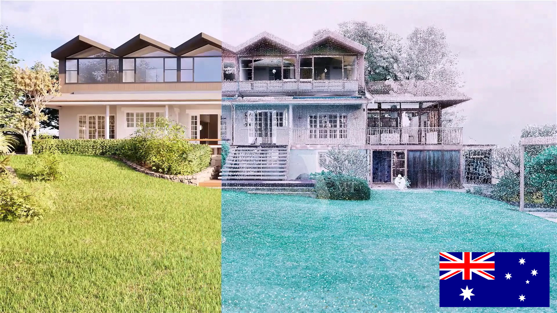
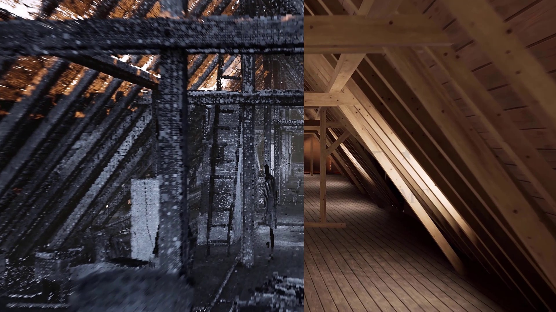
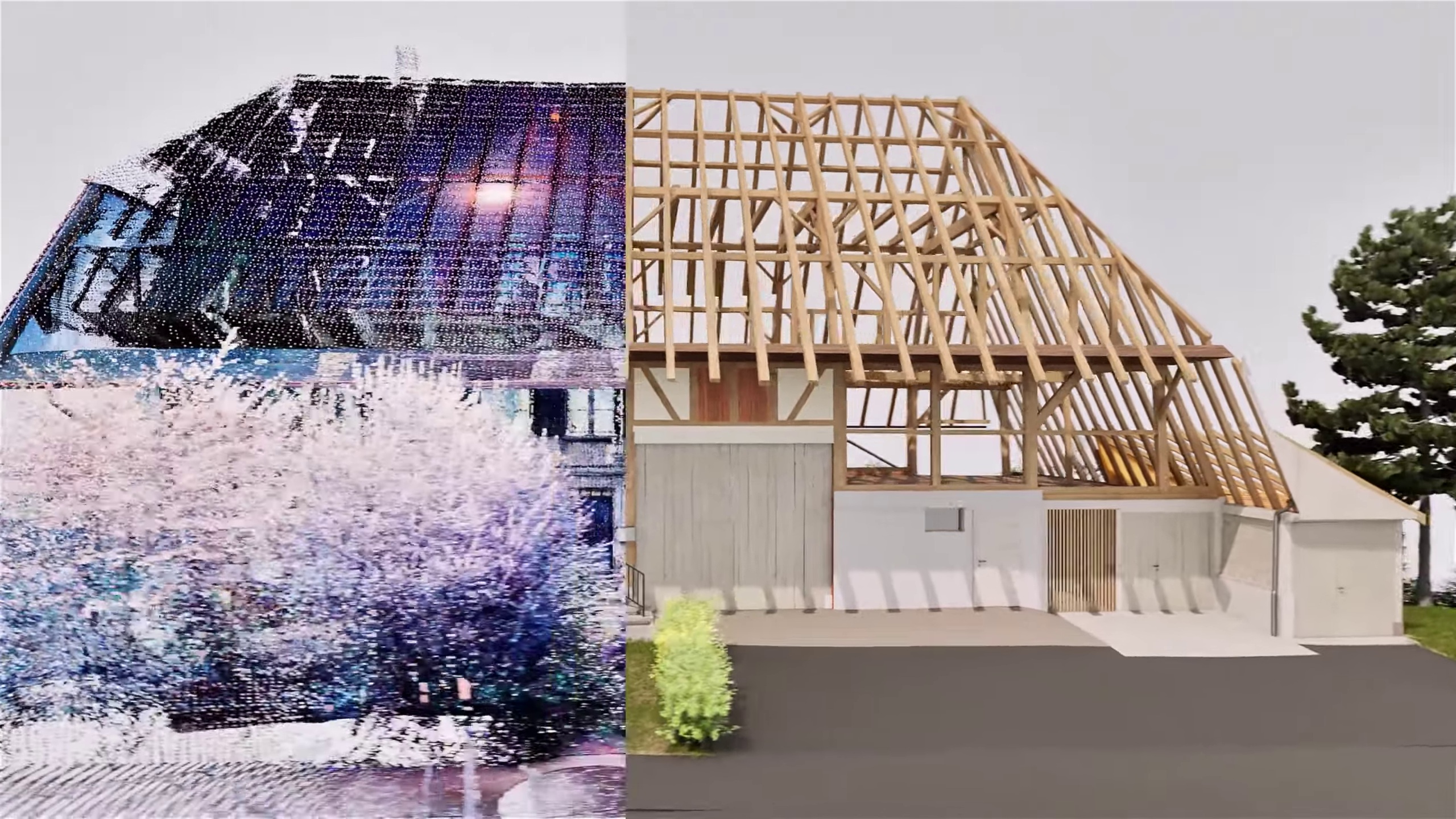
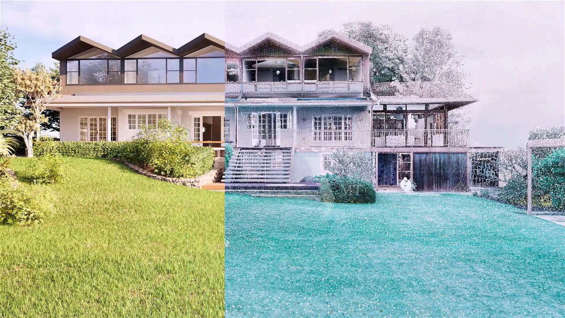
We are the only provider offering a comprehensive service from 3D laser scanning of architecture to complete 3D modeling (BIM). By combining expertise in laser scanning and BIM modeling, our large team of over 100 employees delivers high capacity and quality at attractive costs.
Our Services
VMT Solutions is the only provider offering a comprehensive service from 3D laser scanning of architecture to complete 3D modeling (BIM). By combining expertise in laser scanning and BIM modeling, our large team of over 100 employees delivers high capacity and quality at attractive costs.
Simple Ordering Process

Inquiry & Quotation
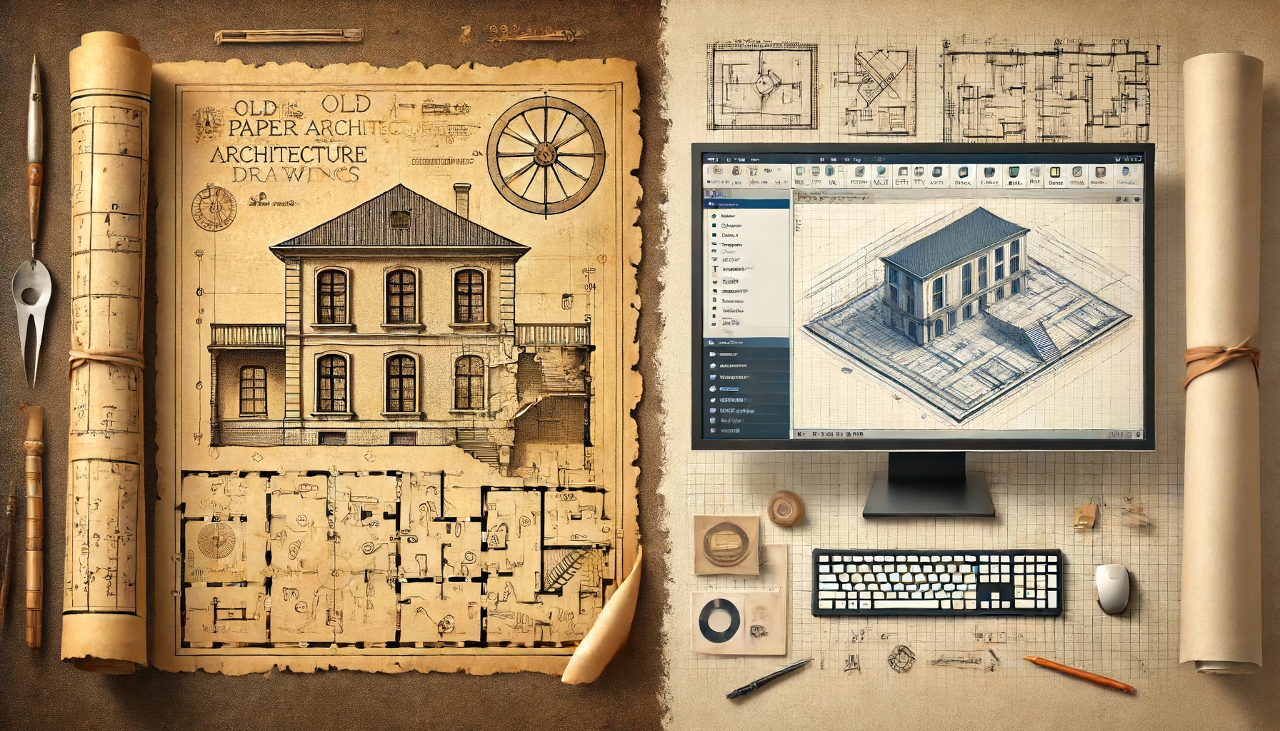
Send us your project data (e.g., photos, old plans, or the Google address) along with your requirements via email. We will provide you with a detailed quotation within 24 hours.
Confirmation
Agree with our offer? Confirm via email and securely send the necessary data to us through our WeTransfer.

Project Execution
We will begin work immediately and create your BIM model. You can monitor the project’s progress in real-time via our dedicated customer portal.
Delivery
Receive the final data on time or even earlier. We’re always available for any questions or adjustments.


PRESSE


HTV9 - Digital Transformation
VMTs as an Innovative Company for Digital Transformation

HTV9 - Boundless Connectivity
About Our Solution for E-Commerce and Industry 4.0

HTV9 - Startup Model
VMTs as a Startup Model in Vietnam with Innovative Business Services

VOH - Startup-Market
Radio Channel About VMTs: A Startup Company with an International Strategy

People's Television
Report on Our Groundbreaking Solutions and Success in Attracting International Clients

HTV9 - Creativity and Startup Dynamism
VMTs Brings Motivation for Young Companies in Vietnam to Become Successful Businesses

VTV1 - Business and Financial News
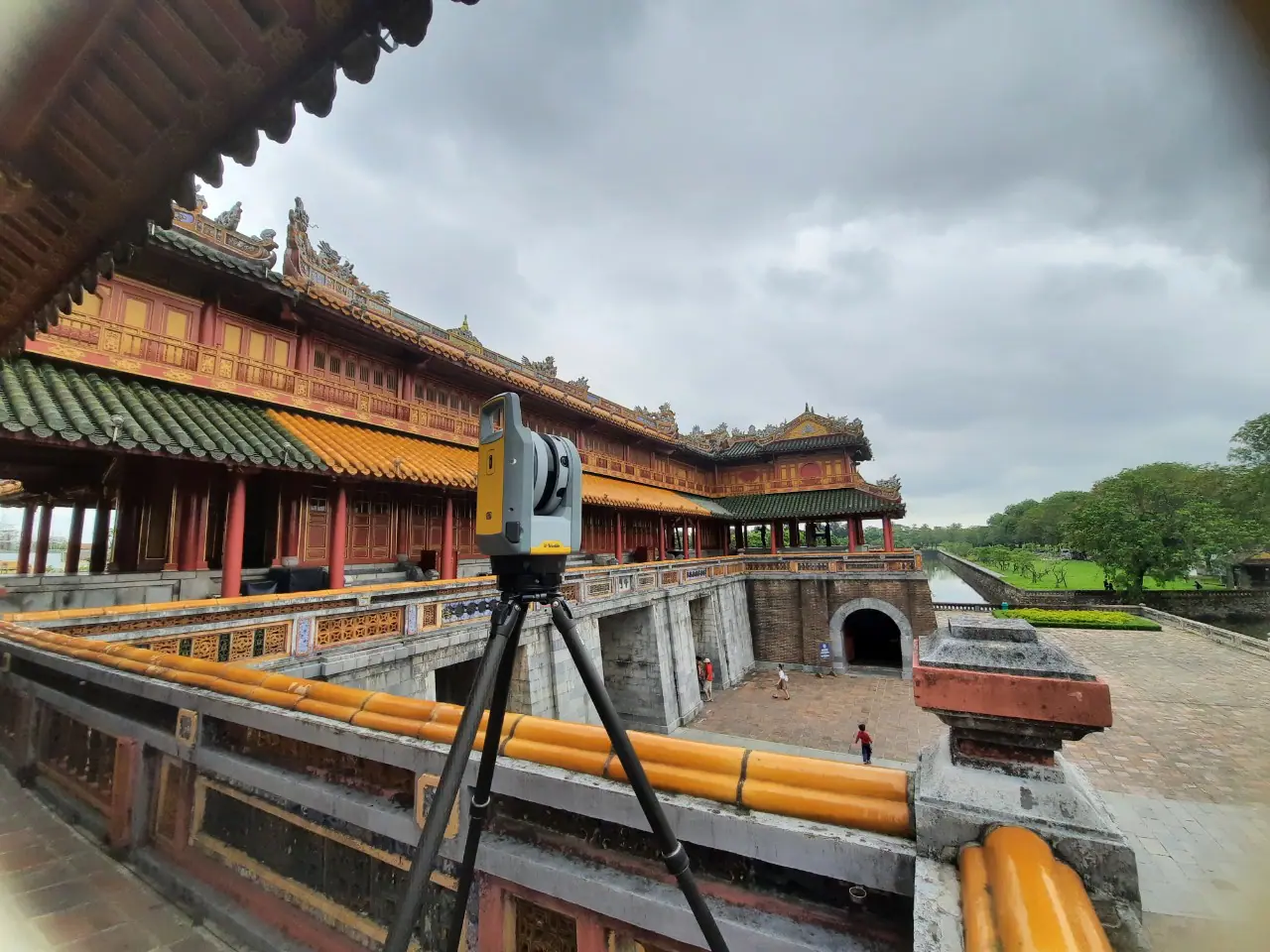
Introduction of New Technology Solutions for Laser Scanning Cultural Heritage, Available and in Use in Vietnam

VTV9- Real Estate 24h
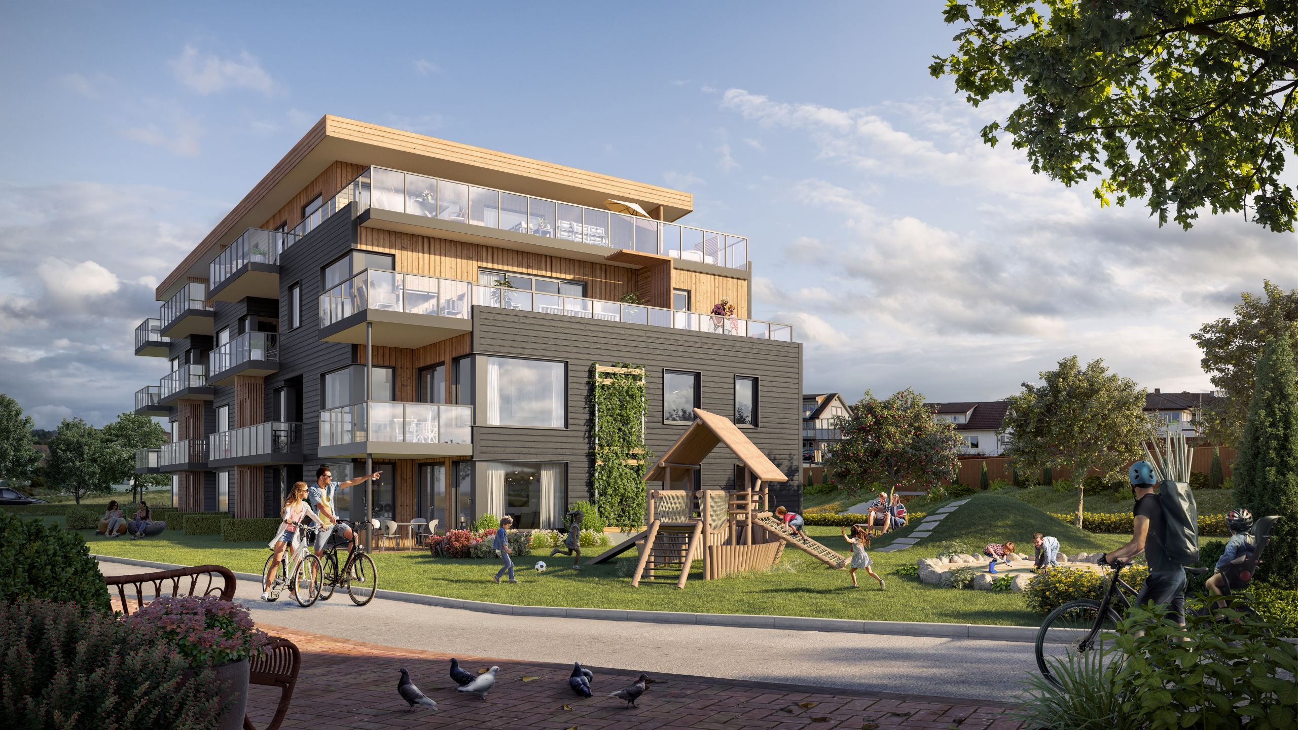
Laser Scanning Technology Supports Real Estate
We are proud to have
satisfied customers.
 Gerd Gindullis, Lecturer for digital as-built data capture at Aachen University of Applied Sciences, TerraMeta 3D Laser Service
 Stefan Schramm, Architekt Stefan Schramm
„Your plans are perfect; I’ve never seen anything like this before. These are drawings of the highest quality, I must say. I want to express my sincere thanks once again for your work.“
 Endre Szokolai, Digitalplan-Szokolai
VMT modeled a large industrial building in 3D for our research project. We provided DWG plans to VMT, and they delivered a highly detailed model, including the building envelope, interior walls, openings, and stairs. We had previously contracted a German company for the same object, but unfortunately, it didn’t work out. I was relieved and pleased that VMT handled it so reliably. Thank you for the excellent work and the truly fair price!

Very reliable company, courteous staff, and top-quality work. Our plans were created quickly and accurately. Thank you for that. Highly recommended.
Excellent advice and high 3D modeling quality at a great price-performance ratio… What more could you want? I can highly recommend them…