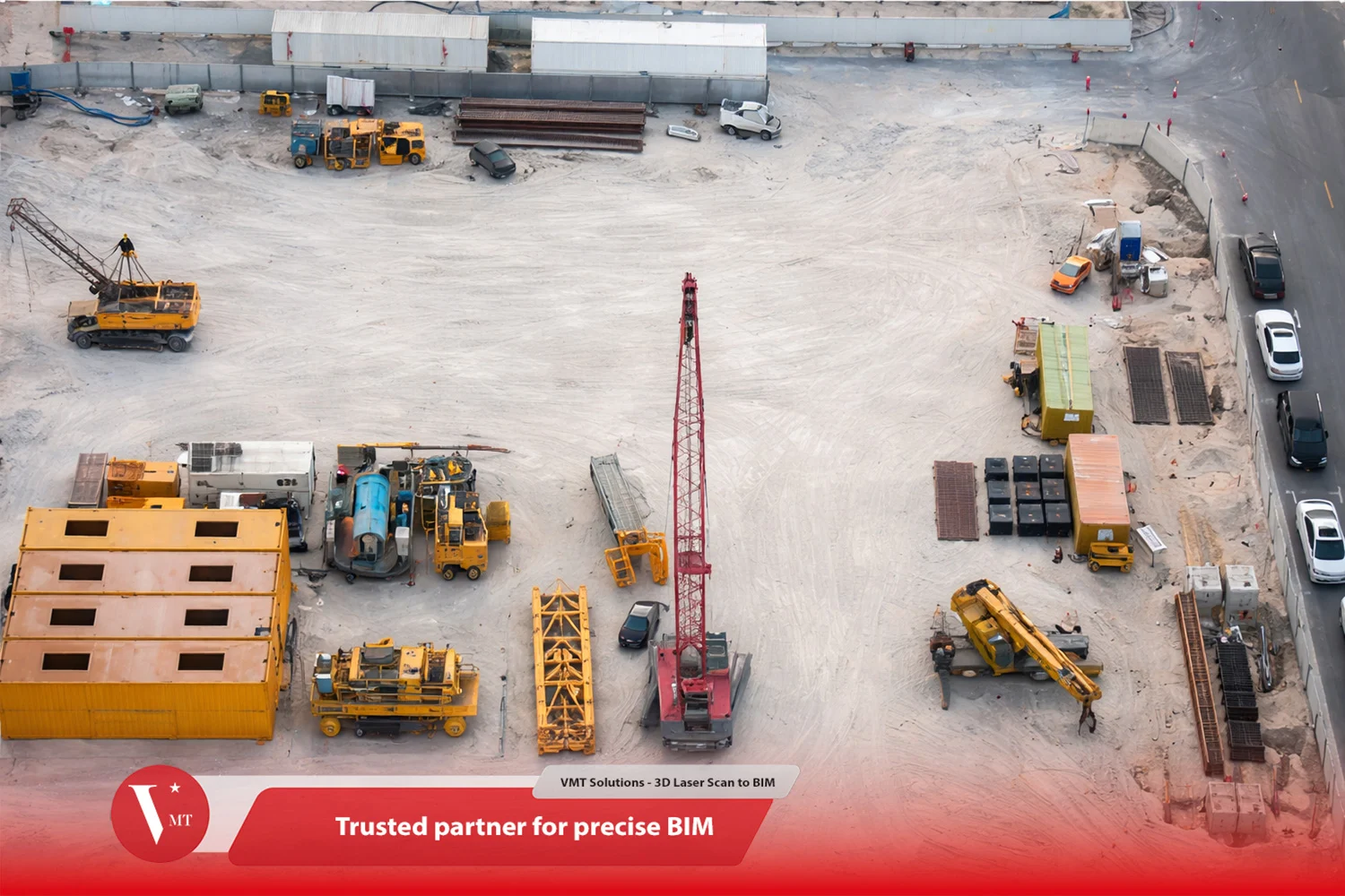
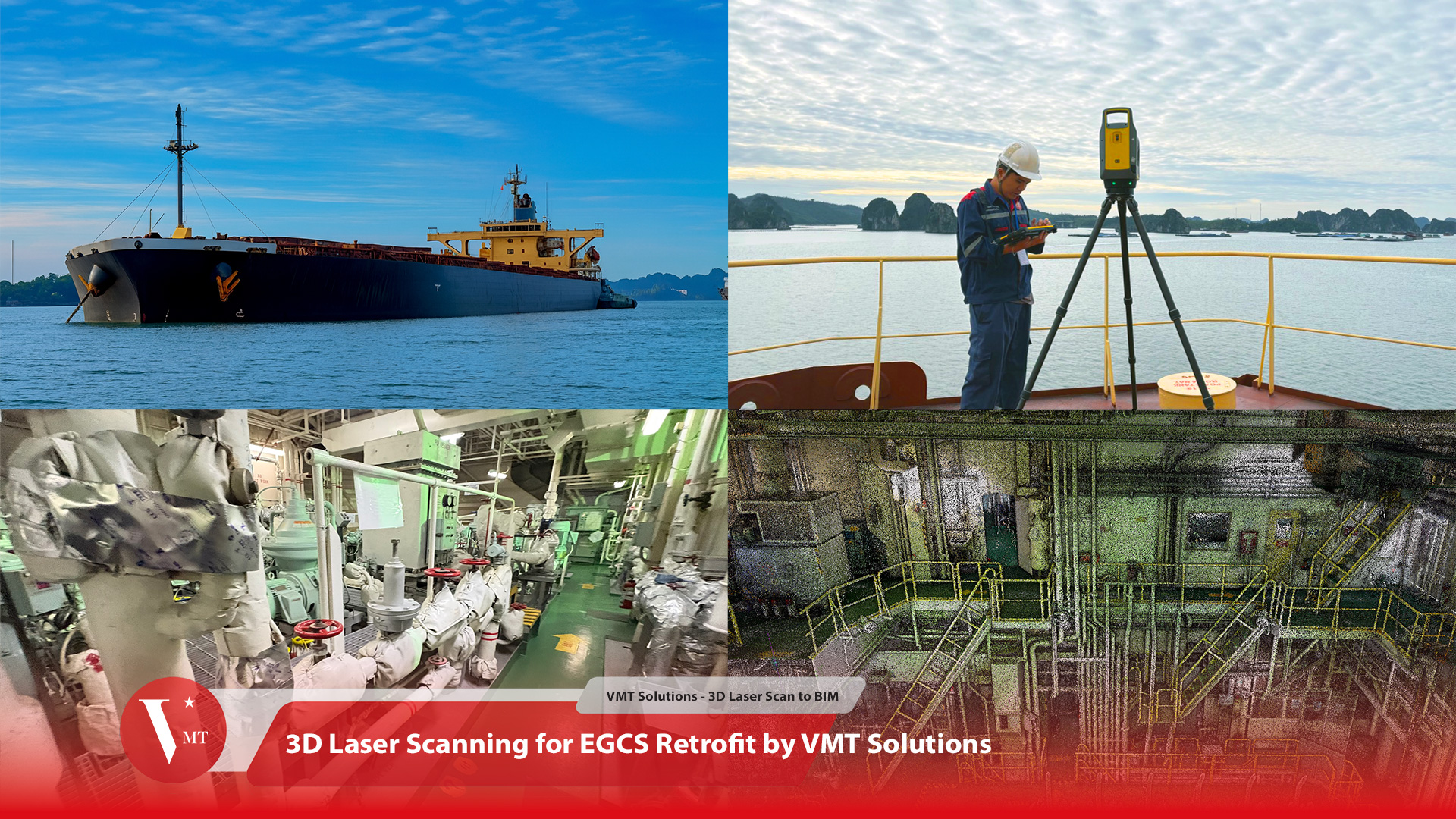
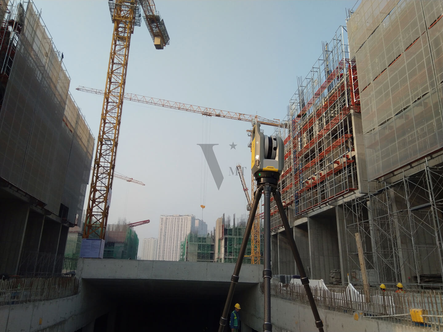
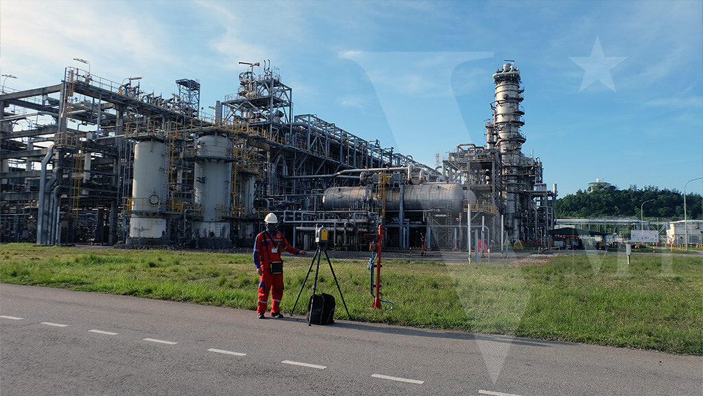
VMT Solutions provides precise 3D laser scanning for accurate capture of buildings and terrain. Our advanced technology delivers detailed point cloud data to create precise 3D models, perfect for planning and documentation.
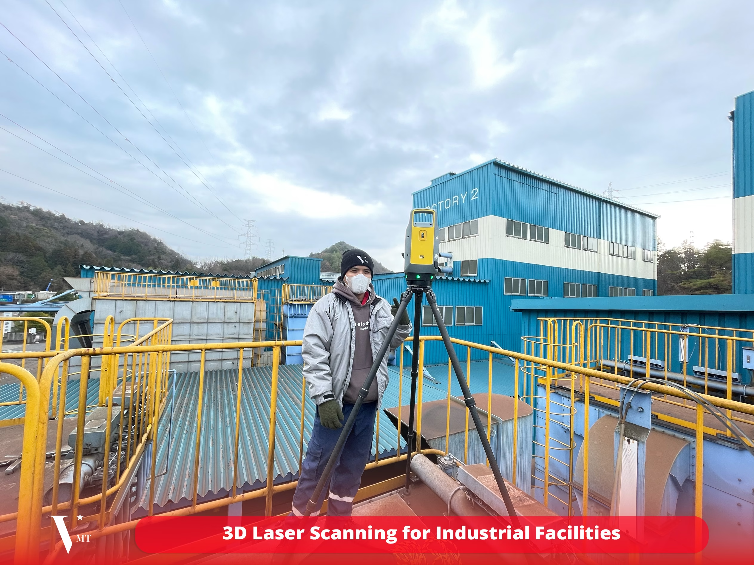
3D Laser Scanning for Industrial Facilities: Common Errors and Solutions
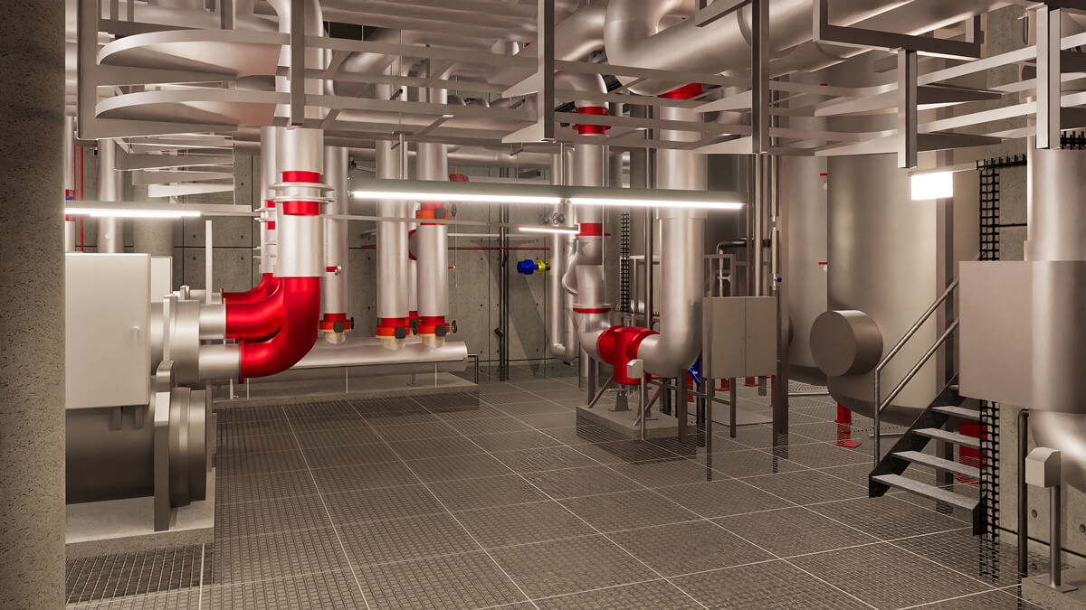
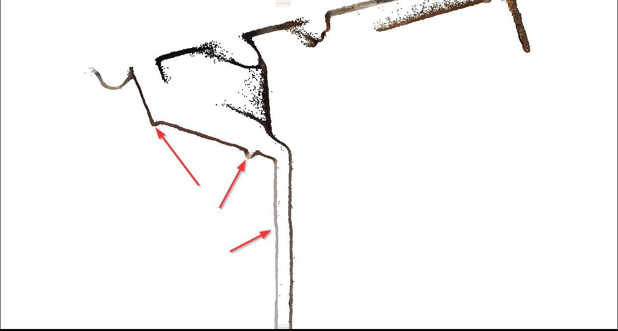
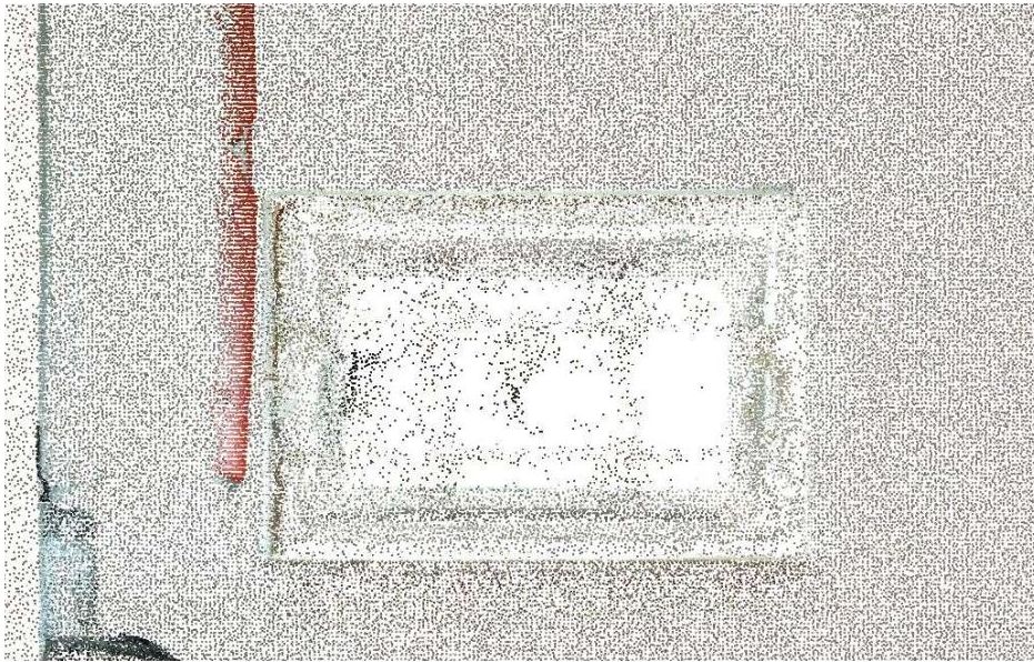
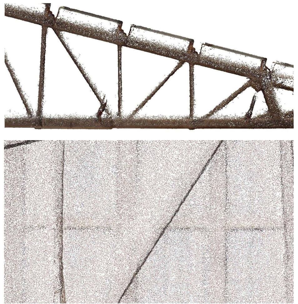
3D laser scanning for industrial facilities is today one of the most reliable methods for accurately documenting complex industrial plants as as-built conditions. Modern laser scanners allow plant structures to be captured as highly detailed [...]