
Über den Autor: Nguyen Huynh (Rainer)
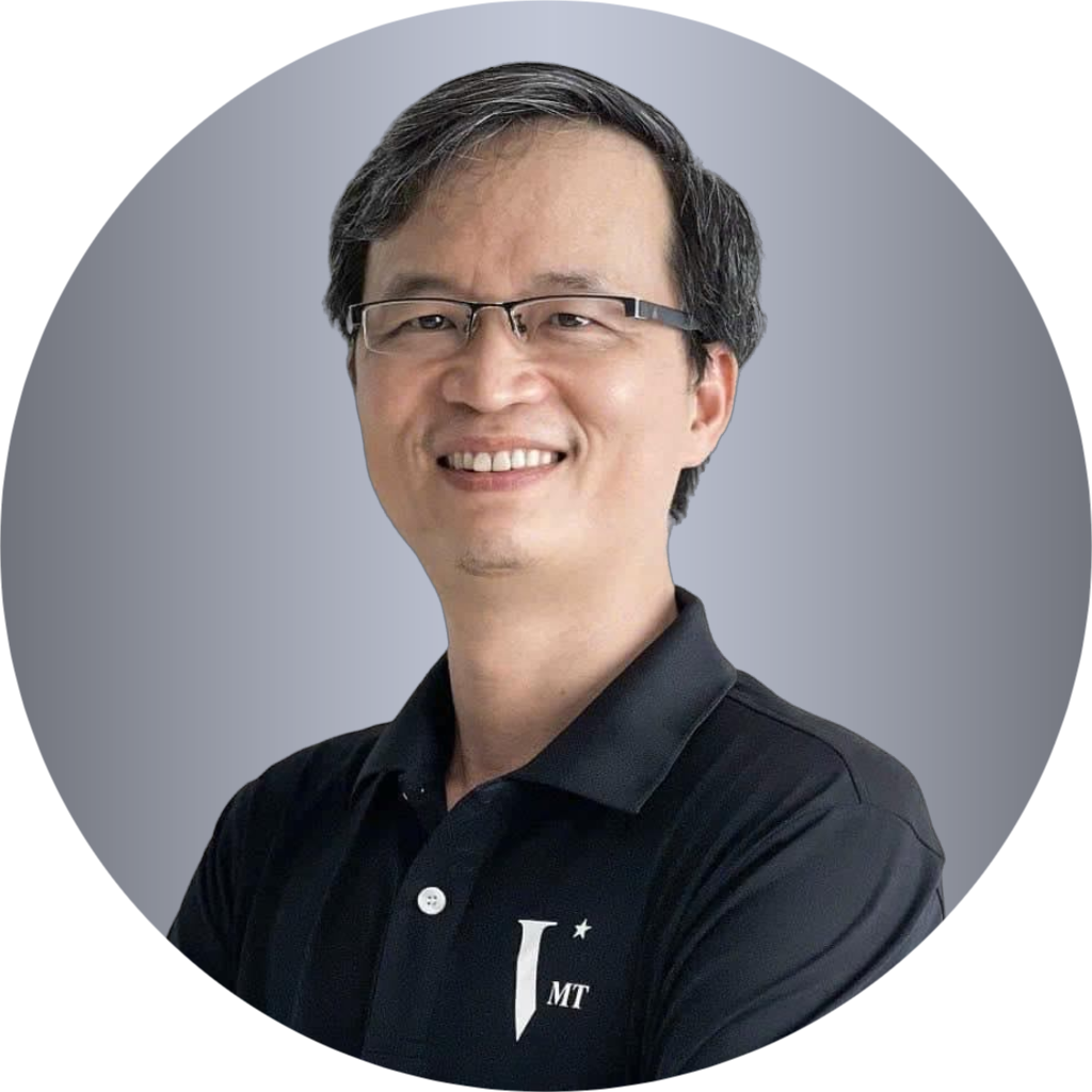
Als Mitbegründer und CEO von VMT Solutions habe ich 2007 meinen Masterabschluss in Technischer und Beruflicher Bildung (TVET) in Deutschland erworben. Mit über einem Jahrzehnt Erfahrung in der Verarbeitung von Punktwolken und BIM-Dienstleistungen bin ich stets leidenschaftlich darin, komplexe Herausforderungen anzugehen und innovative Workflows zu entwickeln, die die Genauigkeit und Detailgenauigkeit bei der Umwandlung von Punktwolken in BIM verbessern.
Bei VMT Solutions sind wir bestrebt, hochwertige Dienstleistungen zu bieten, die einen außergewöhnlichen Mehrwert liefern, insbesondere für Vermessungsunternehmen. Unser Fokus liegt darauf, Win-Win-Beziehungen aufzubauen, um sicherzustellen, dass unsere Kunden von maßgeschneiderten Lösungen profitieren, die ihren spezifischen Anforderungen entsprechen. Jeden Tag strebe ich danach, die Grenzen unserer Branche zu erweitern, unsere Methoden kontinuierlich zu verfeinern und neue Wege zu finden, um unser Angebot zu optimieren.