
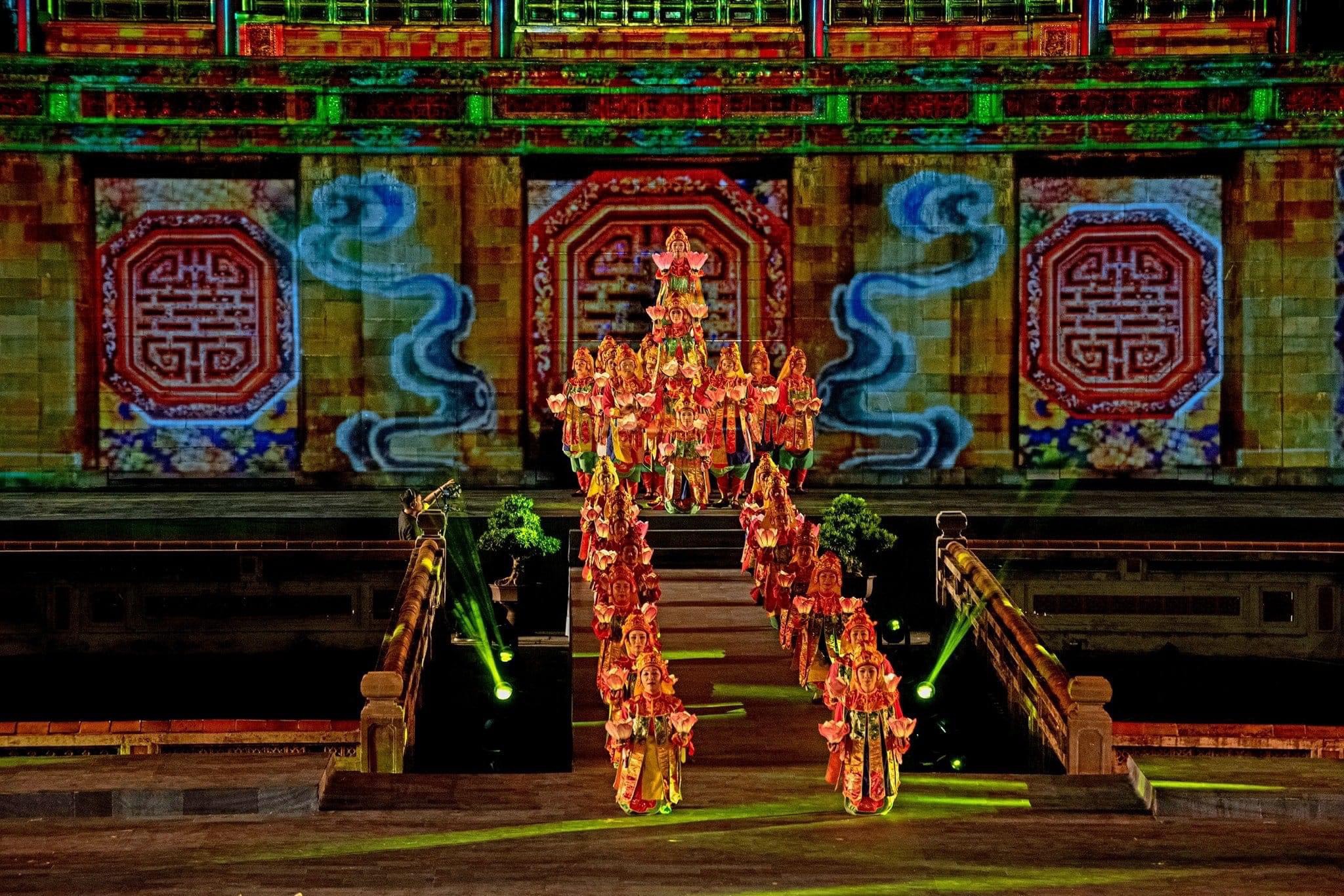


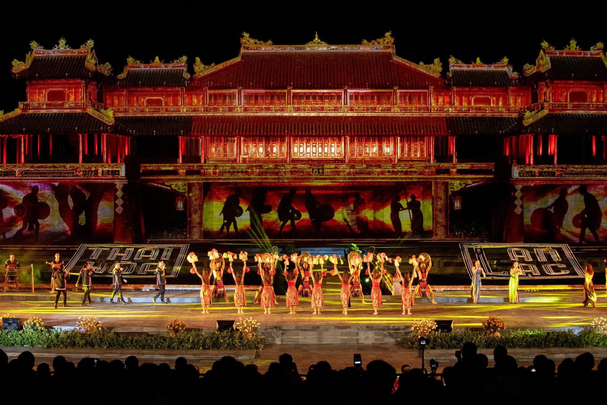
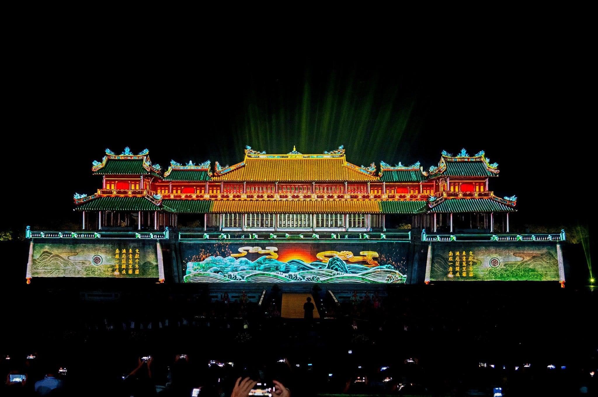


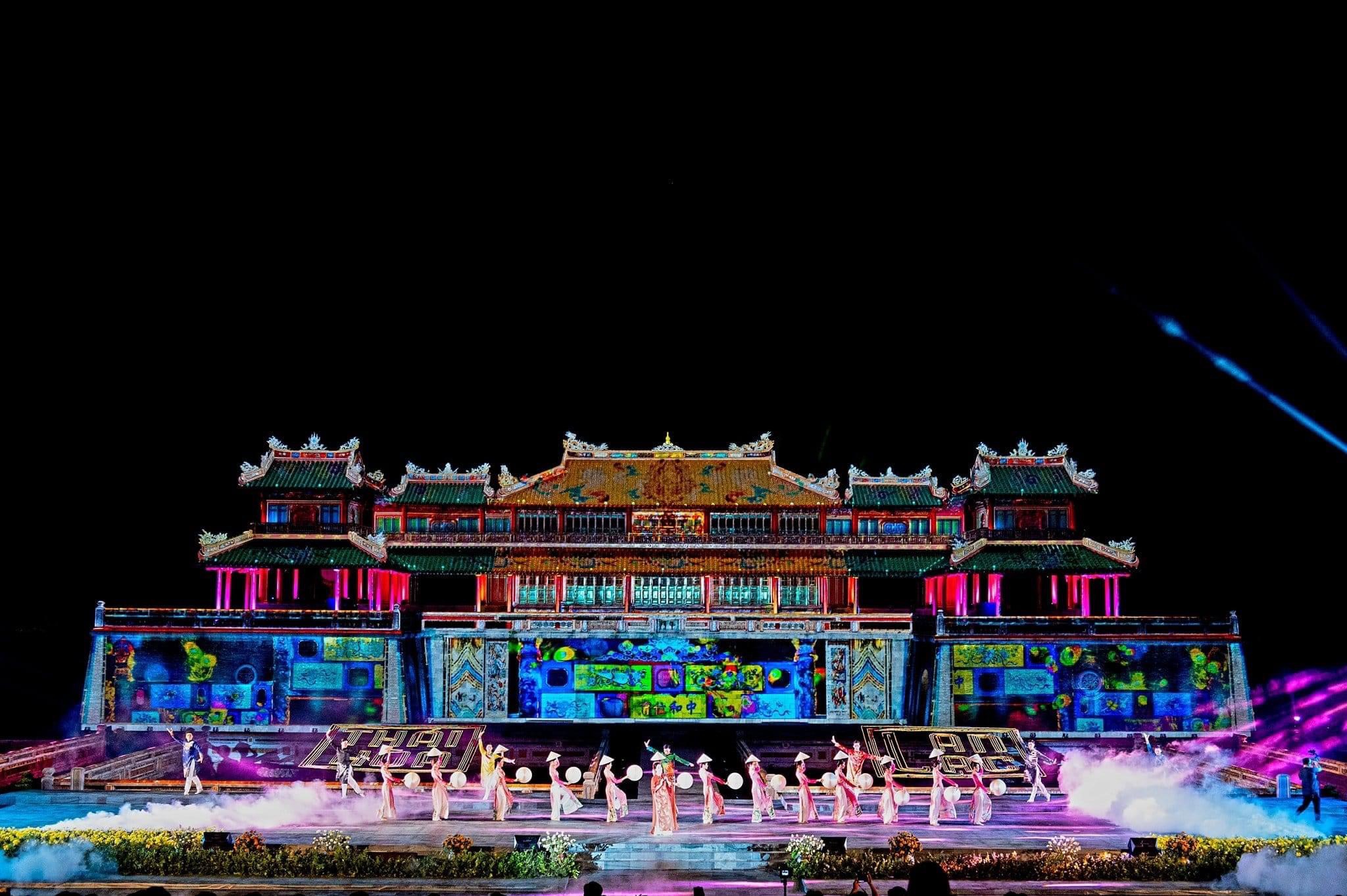
Recreating Ngo Mon gate through 3D mapping effects When VMT Solutions (VMTs) first introduced to customers in Vietnam the application of 3D Laser Scanning technology. Most of them thought that it was a solution only suitable for projects related to heritage conservation. However, after nearly 10 years of providing surveying services using 3D Laser Scanning
Category: Allgemein
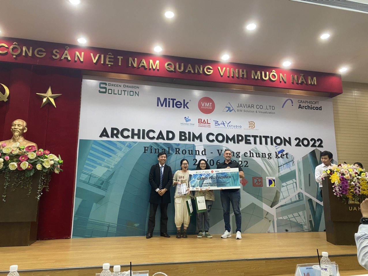

Last Friday was an amazing final round of the ArchiCAD BIM Competition 2022. The project Presentations of all the ten best teams were presented clearly and very creatively. All the members were so talent and full of energy. It was such a beautiful moment when we were honoured to give the first prize to 2
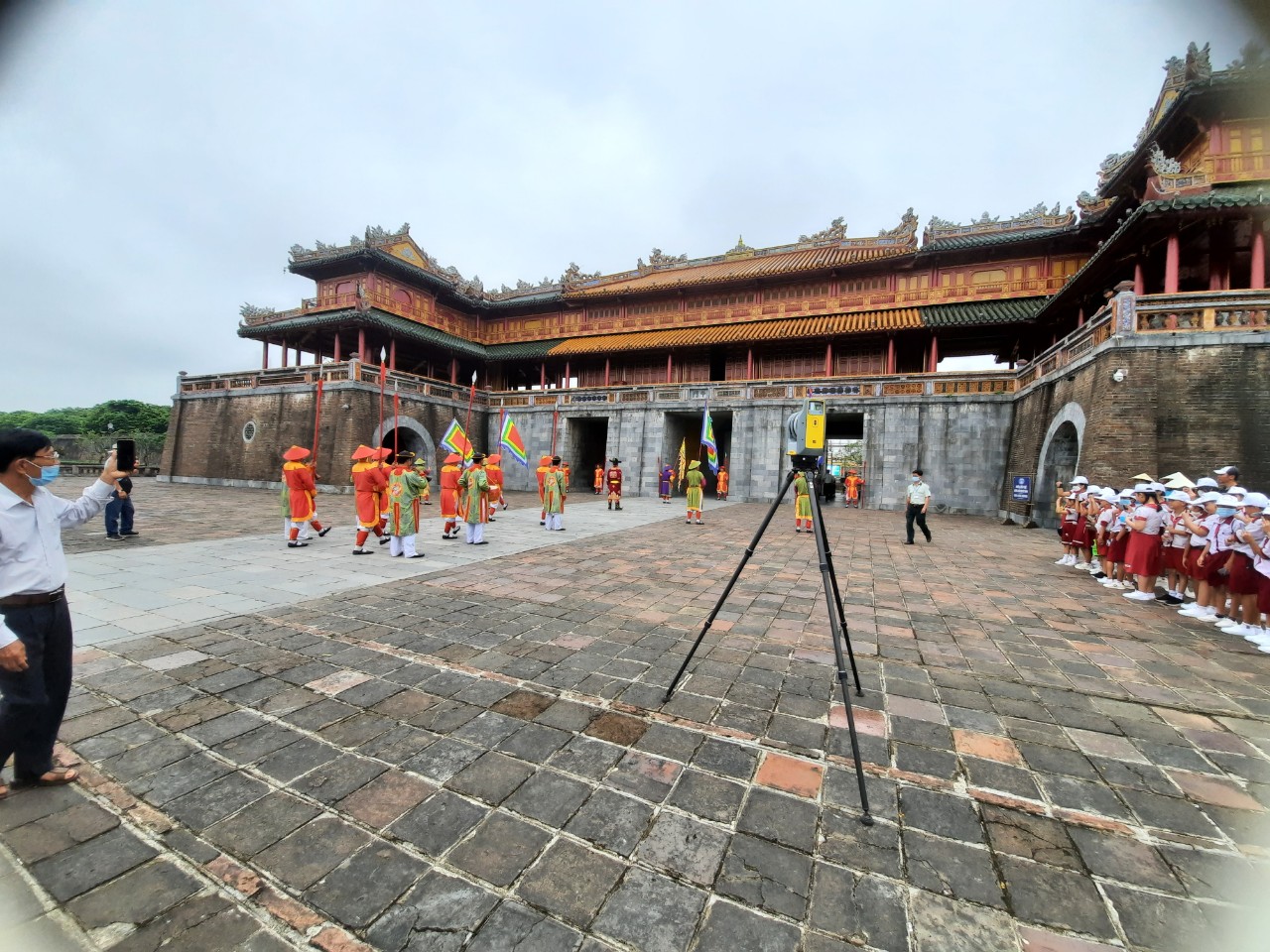
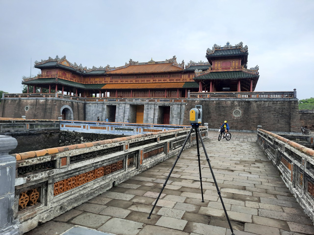
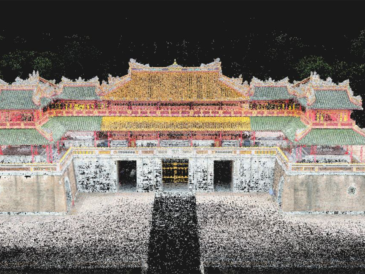
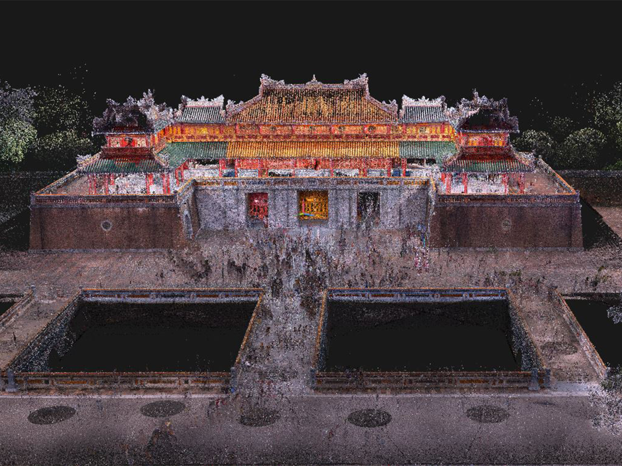
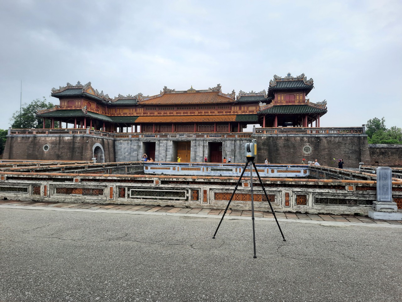
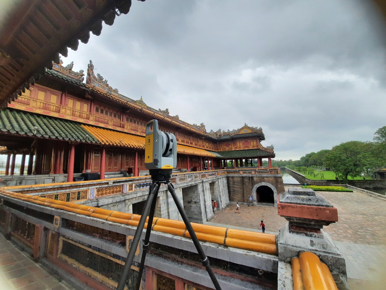
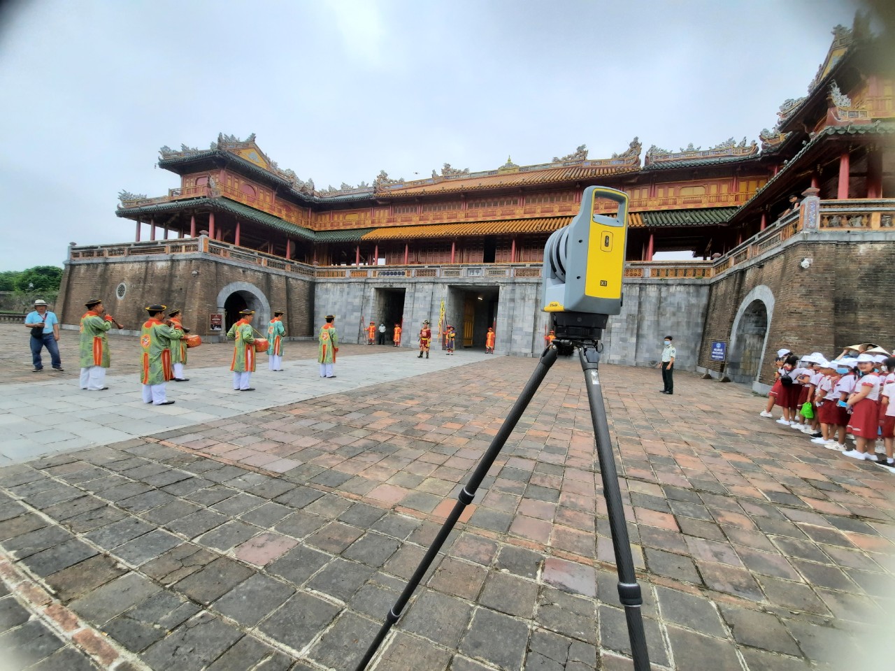
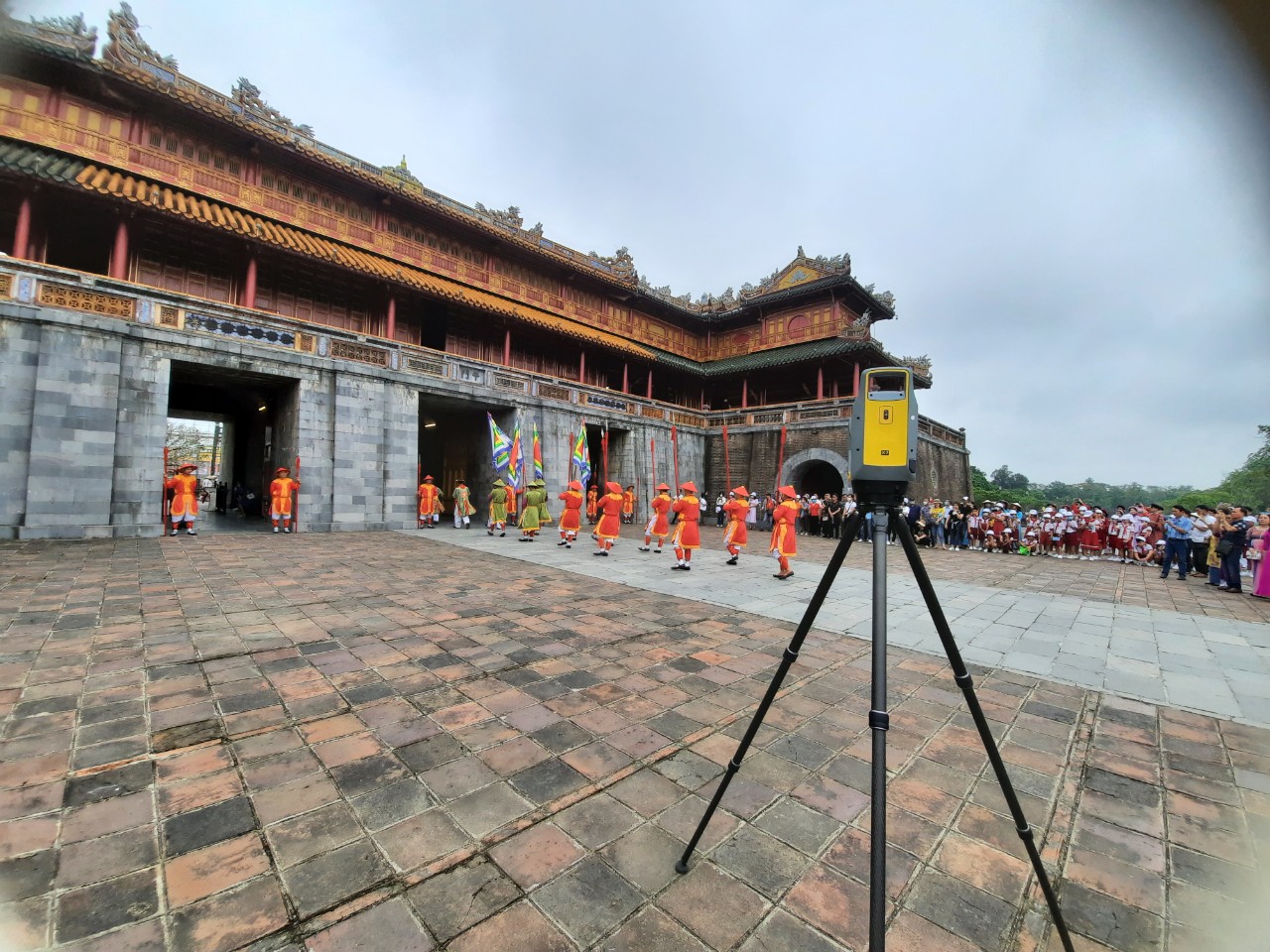
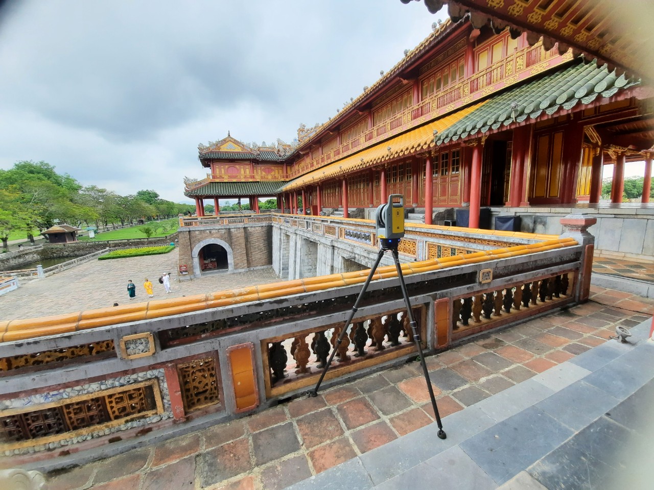
3D laser scan of Meridian Gate – also known as the South Gate (constructed in 1833), is the main gate to the Imperial City of Hue, located within the citadel of Hue (Vietnam). Using a Trimble X7 3D laser scanner, the external conditions and features of this Gate were measured and captured. ➡️ 3000
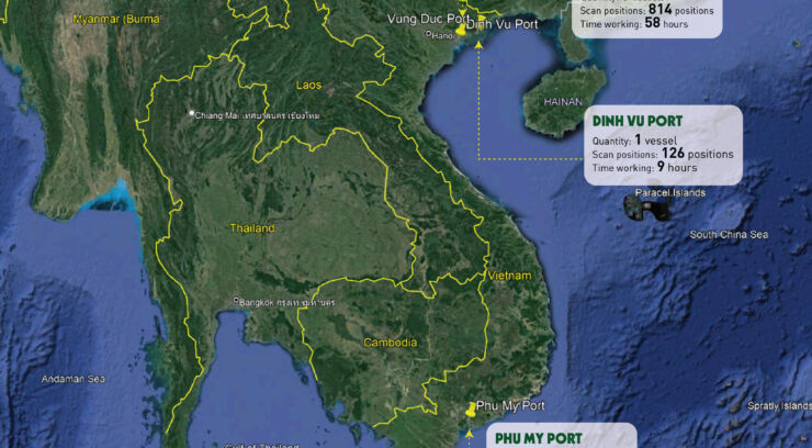
Over the past 3 months, VMT Solutions has successfully completed Ten marine laser scanning projects (BWTS retrofit). In Vietnam, we are currently the only company that can provide accurate high-quality 3D laser scanning, drafting, designing and engineering services. In order to excel on these projects as field engineers we needed to have a complete understanding

6 POINTS TO A LONG-TERM PARTNERSHIP Contracting out the analysis of inhouse point cloud data to an external Pointcloud to BIM partner is showing an increasing trend due to the high demand for CAD and BIM services. It has proven to be an effective and practical solution that allows companies to save time and effort
Accuracy is a crucial concern when performing a 3D laser scanning survey. During more than ten years of serving on point cloud data processing, our customers always come up with the same question: “Can we maintain a level of accuracy bounded by a few millimetres?”. So far, we have finished thousands of projects with similar
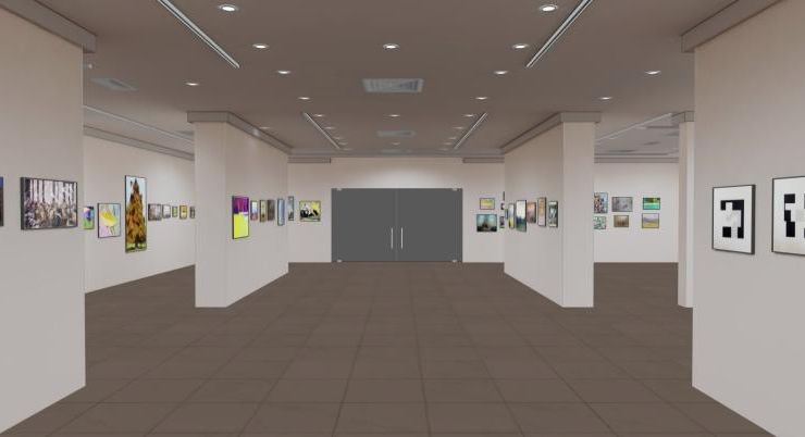
Virtual tour and online interactive visiting experiences One of the consequences of the COVID-19 lockdown across the world has been that almost all cultural venues (museums, theaters, cinemas, Galerie arts, stores, etc.) are closed. So how they are coping with the current emergency, which strategies are they developing for the future scenarios, which of them

Identifying bridge deformation using laser scanning data Linh Truong-Hong1, Roderik Lindenbergh1 1 Dept. of Geoscience & Remote Sensing, Delft University of Technology, Delft, Netherlands, (l.truong; r.c.lindenbergh@tudelft.nl) 2 Dept. of Research and Development (R&D), VMT Solutions. (l.truong@vmts.ch) Keywords: Bridge deformation; vertical clearance; laser scanning; point cloud; cell grid ABSTRACT Increasing traffic weights and aggressive environmental
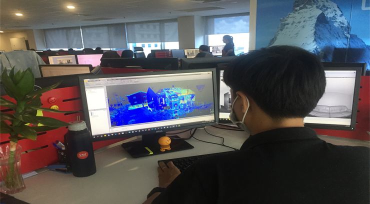
Why we are better than our competition? Challenge and/or Problem We use input data from our customers, what happens if the input data is not accurate enough? Based on our many years of experience, 80% of the point cloud data contains errors. Without our specially developed workflow and correction, these inaccuracies and errors would be
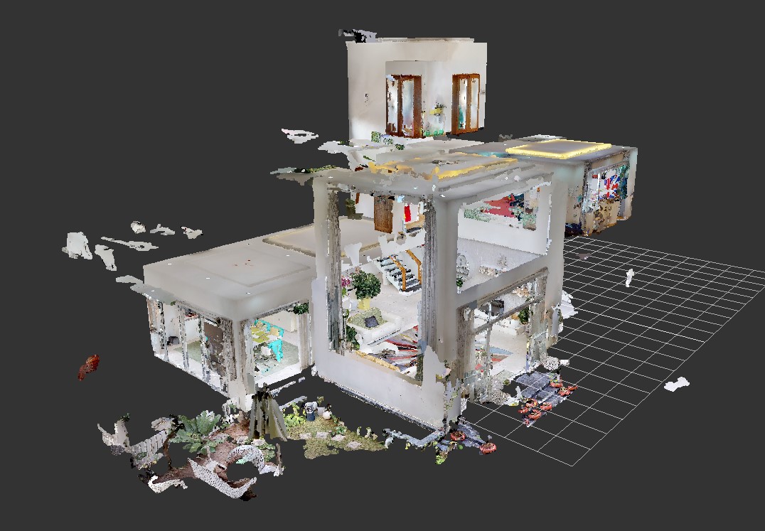

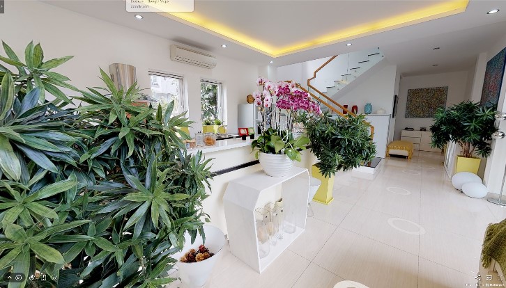
Challenge: A colored point cloud (.XYZ) is exported from Matterport (with Matterpak). We import this data into Recap. Here is an example how this looks like. Matterport point clouds We can not import the point cloud data from Matterport directly into CAD and start tracing, modeling because their contains displacements and errors. Without adjustment,